Sites and Monuments Record · Ireland
Graveyard
Wexford, County Wexford, Ireland
The record
- Townland
- Wexford
- County
- Wexford
- Country
- Ireland
- First-edition OS map
- Grave Yd.
- Latest-edition OS map
- Not indicated
- Coordinates
- 52.33585, -6.46074
- SMR number
- WX037-032033-
Slide toward Today to fade the historical sheet and see the modern map underneath.
University Library, Vrije Universiteit AmsterdamUniversity Library, Vrije Universiteit AmsterdamDavid Rumsey Map Collection, Stanford LibrariesDavid Rumsey Map Collection, Stanford Libraries
4 historical maps cover this location, the earliest the 1811 map "Ireland." (David Rumsey Map Collection, Stanford Libraries).
Historical maps covering this location
- 1811 · Ireland. (David Rumsey Map Collection, Stanford Libraries)
- 1891 · Ireland 16 (David Rumsey Map Collection, Stanford Libraries)
- 1904 · Sheet 14, 1904 (University Library, Vrije Universiteit Amsterdam)
- 1911 · Sheet 14, 1911 (University Library, Vrije Universiteit Amsterdam)
This record in the National Monuments Service's Historic Environment Viewer ↗
The National Monuments Service's description
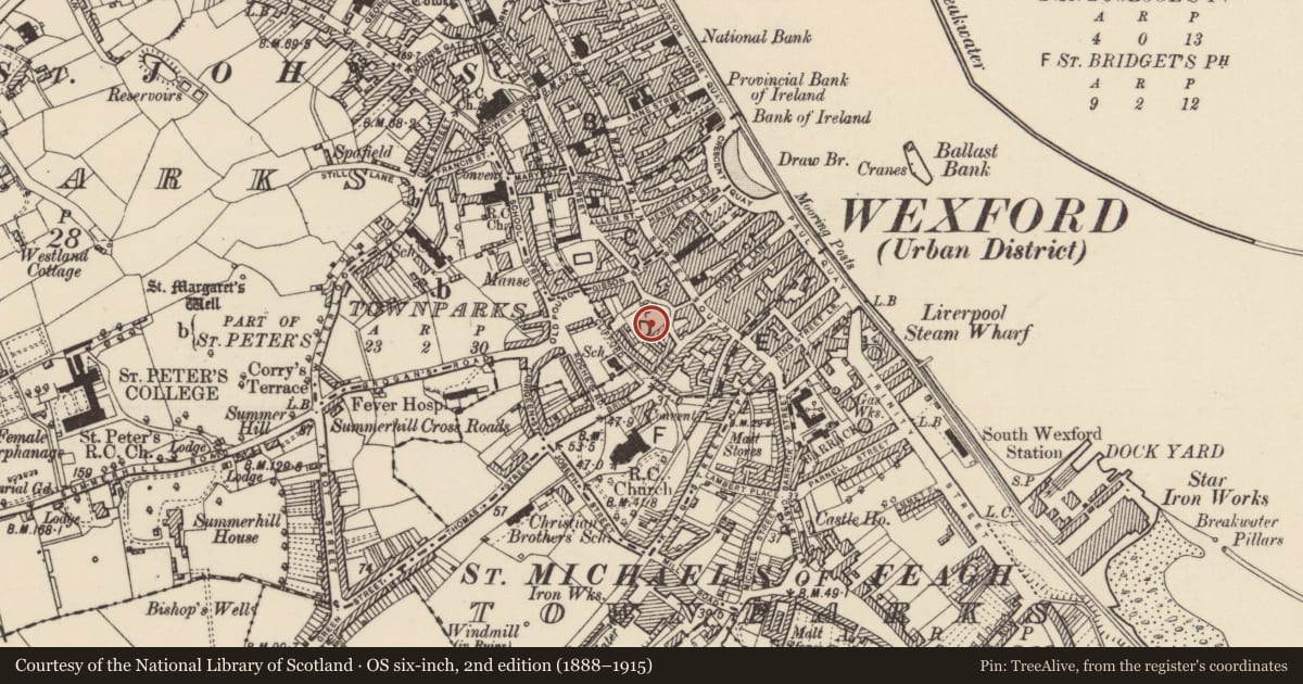
The parish church of St Mary's (WX037-032011-) is situated on a W-E toe of relatively high ground within a D-shaped graveyard (dims c. 60m NE-SW; c. 40m NW-SE) defined by masonry walls, with the straight side at SW. There are no medieval memorial monuments in the graveyard. Repairs to the graveyard wall SE-SW received archaeological supervision (E004450) and a three small necessary excavations were conducted inside the wall which uncovered some burials which were left in situ (Gregory 2012; excavations.ie 2012:636). Unlicensed monitoring by E. Barry and M. Greiner of a water-mains trench (Wth 0.4-0.8m; D 0.8-1.2m) along St. Michael’s Lane from outside the graveyard boundary wall at E to Bride St. (L c. 35m) produced no archaeological material (excavations.ie 2021:043).
Compiled by: Michael Moore
Date of upload: 20 December, 2012
Amended: 23 November 2020; 4 November 2021
References
Gregory, N. 2012 St. Mary’s Graveyard, Mary’s Lane, Wexford. Archaeological test excavation assessment. Licence: E004450. Unpublished report, Author
Nearby in the register
- Churchunder 1 mi
- House - medievalunder 1 mi
- Battlefieldunder 1 mi
- Town defencesunder 1 mi
Other entries of the same register within about three miles of this one, by straight line.