Sites and Monuments Record · Ireland
Castle - Anglo-Norman masonry castle
Townparks (St. Michael's of Feagh Par.), County Wexford, Ireland
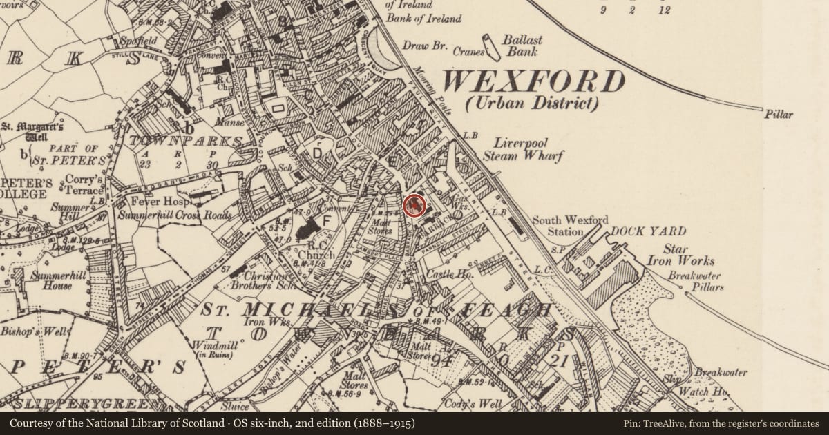
The record
- Townland
- Townparks (St. Michael's of Feagh Par.)
- County
- Wexford
- Country
- Ireland
- First-edition OS map
- site if Castle
- Latest-edition OS map
- Indicated
- Coordinates
- 52.33479, -6.45785
- SMR number
- WX037-032001-
Slide toward Today to fade the historical sheet and see the modern map underneath.
University Library, Vrije Universiteit AmsterdamUniversity Library, Vrije Universiteit AmsterdamDavid Rumsey Map Collection, Stanford LibrariesDavid Rumsey Map Collection, Stanford Libraries
4 historical maps cover this location, the earliest the 1811 map "Ireland." (David Rumsey Map Collection, Stanford Libraries).
Historical maps covering this location
- 1811 · Ireland. (David Rumsey Map Collection, Stanford Libraries)
- 1891 · Ireland 16 (David Rumsey Map Collection, Stanford Libraries)
- 1904 · Sheet 14, 1904 (University Library, Vrije Universiteit Amsterdam)
- 1911 · Sheet 14, 1911 (University Library, Vrije Universiteit Amsterdam)
This record in the National Monuments Service's Historic Environment Viewer ↗
The National Monuments Service's description
The castle at Wexford is located on a slight rise at the S end of the town, and it may have been built on the site of a Viking strongpoint (Hadden 1968, 13). It is traditionally thought to have been built by King John, but it was certainly in existence by 1221, although a door-keeper of the castle is mentioned in 1185. A list of its constables from 1311 to 1590 survives (Hore 1900-11, vol. 5, 65). The castle was bombarded by Cromwell's forces in October 1649 and quickly surrendered, which led to the capture of the town (ibid. 293-304). The castle is described (ibid. 63-70) as having been a rectangular keep with four towers attached. It was converted to a military barracks in the 1720s (Colfer 1990-1, 18-21), and these buildings still occupy the site, but no features of a medieval castle are evident.
The above description is derived from the published 'Archaeological Inventory of County Wexford' (Dublin: Stationery Office, 1996). In certain instances the entries have been revised and updated in the light of recent research.
Compiled by: Michael Moore
Date of upload/revision: 19 December, 2012
References
Colfer, B. 1990-91 Medieval Wexford. Journal of the Wexford Historical Society (formerly known as Journal of the Old Wexford Society) 13, 5-29.
Hadden, G. 1968 The origin and development of Wexford town. Parts 1 and 2. Journal of the Wexford Historical Society, vol. 1, 5-19.
Nearby in the register
Other entries of the same register within about three miles of this one, by straight line.