Sites and Monuments Record · Ireland
Church
Bree, County Wexford, Ireland
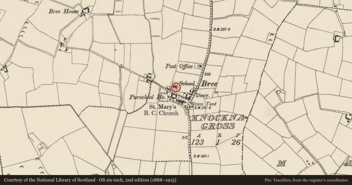
The record
- Townland
- Bree
- County
- Wexford
- Country
- Ireland
- First-edition OS map
- R.C. Chapel Old
- Latest-edition OS map
- School
- Coordinates
- 52.43533, -6.61037
- SMR number
- WX031-011003-
Slide toward Today to fade the historical sheet and see the modern map underneath.
University Library, Vrije Universiteit AmsterdamUniversity Library, Vrije Universiteit AmsterdamDavid Rumsey Map Collection, Stanford LibrariesDavid Rumsey Map Collection, Stanford Libraries
4 historical maps cover this location, the earliest the 1790 map "Composite: Ireland." (David Rumsey Map Collection, Stanford Libraries).
Historical maps covering this location
- 1790 · Composite: Ireland. (David Rumsey Map Collection, Stanford Libraries)
- 1891 · Ireland 16 (David Rumsey Map Collection, Stanford Libraries)
- 1904 · Sheet 14, 1904 (University Library, Vrije Universiteit Amsterdam)
- 1911 · Sheet 14, 1911 (University Library, Vrije Universiteit Amsterdam)
This record in the National Monuments Service's Historic Environment Viewer ↗
The National Monuments Service's description
Situated on the S-facing slope of a N-S spur. It is described as 'Old R.C. Chapel' on the 1839 ed. of the OS 6 inch map, but the present church, which is c. 60m to the SE, had been dedicated in 1839, and this building later became a school. A stoup and a stone with the letters ‘R.D’ and the date 1738 (Sheil 1921, 114) that cannot be traced now could indicate the construction date of this building. It is a rectangular structure (int. dims. 19m E-W; 6m N-S), originally with four pointed windows on each long wall and one entrance, probably at the W. It was adapted as a school by inserting a central partition and adding two porches on the S wall, and it is now used for storage.
The above description is derived from the published 'Archaeological Inventory of County Wexford' (Dublin: Stationery Office, 1996). In certain instances the entries have been revised and updated in the light of recent research.
Compiled by: Michael Moore
Date of upload/revision: 27 August, 2012
References
Sheil, Rev. P. 1920 Parish of Bree. The Past 1, 113-19.
Nearby in the register
- Font (present location)under 1 mi
- Moated siteunder 1 mi
- Churchunder 1 mi
- Graveyardunder 1 mi
Other entries of the same register within about three miles of this one, by straight line.