Sites and Monuments Record · Ireland
Ring-ditch
Ballymacoonoge, County Wexford, Ireland
The record
- Townland
- Ballymacoonoge
- County
- Wexford
- Country
- Ireland
- First-edition OS map
- Not indicated
- Latest-edition OS map
- Not indicated
- Coordinates
- 52.47232, -6.41920
- SMR number
- WX027-010001-
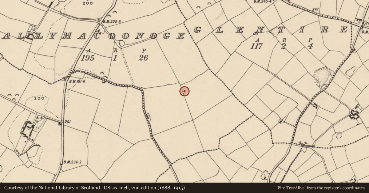
Slide toward Today to fade the historical sheet and see the modern map underneath.
University Library, Vrije Universiteit AmsterdamUniversity Library, Vrije Universiteit AmsterdamDavid Rumsey Map Collection, Stanford LibrariesDavid Rumsey Map Collection, Stanford Libraries
4 historical maps cover this location, the earliest the 1811 map "Ireland." (David Rumsey Map Collection, Stanford Libraries).
Historical maps covering this location
- 1811 · Ireland. (David Rumsey Map Collection, Stanford Libraries)
- 1891 · Ireland 16 (David Rumsey Map Collection, Stanford Libraries)
- 1904 · Sheet 14, 1904 (University Library, Vrije Universiteit Amsterdam)
- 1911 · Sheet 14, 1911 (University Library, Vrije Universiteit Amsterdam)
This record in the National Monuments Service's Historic Environment Viewer ↗
The National Monuments Service's description
Situated on a low SE-NW, and c. 7m SW of the ring-ditch (WX027-010----). A remote sensing magnetometer survey (18R0065) in advance of a quarry development identified (Gimson et al. 2018, 5, M12) three weak signals forming a subcircular enclosure (diam. c. 14-16m) with a possible entrance at N. Two possible pits are within the enclosure and a linear feature extends NW from its perimeter at N and another extends SE from the perimeter at S. This feature will be preserved within a fallow area associated with the ring-ditch (WX027-010----), but archaeological testing (19E0010) of the remaining area produced no related material (Carroll 2019). Archaeological monitoring (20E0204) by M. Carroll (2020) of topsoil removal in an L-shaped area of c. 3.3 ha to the E and S of the ring-ditches produced no related archaeological material of archaeological features.
Compiled by: Michael Moore
Date of upload: 8 April, 2020; 9 November 2022
References
Gimson, H., Garner, U. and C. Hogan 2018 The investigation of lands at Ballymacoonge and Glentire, Ballaghkeen, Co. Wexford. Licence No. 18R0065. Unpublished report, Earthsound
Carroll, M. 2019 Archaeological testing of Ballymacoonoge Td., Ballaghkeen, Co. Wexford. Licence No. 19E0010. Unpublished report, Tobar Archaeological Services
Carroll, M. 2020 Quarry development at Ballymacoonoge Td, Ballaghkeen, Co. Wexford. Licence: 20E0204. Unpublished report, Author
Nearby in the register
- Ring-ditchunder 1 mi
- Ring-ditchunder 1 mi
- Ring-ditchunder 1 mi
- Ring-ditchunder 1 mi
Other entries of the same register within about three miles of this one, by straight line.