Sites and Monuments Record · Ireland
Cross-slab (present location)
Clone, County Wexford, Ireland
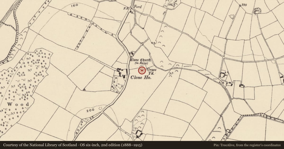
The record
- Townland
- Clone
- County
- Wexford
- Country
- Ireland
- First-edition OS map
- Not indicated
- Latest-edition OS map
- Not indicated
- Coordinates
- 52.56826, -6.50489
- SMR number
- WX015-023012-
Slide toward Today to fade the historical sheet and see the modern map underneath.
University Library, Vrije Universiteit AmsterdamUniversity Library, Vrije Universiteit AmsterdamDavid Rumsey Map Collection, Stanford LibrariesDavid Rumsey Map Collection, Stanford Libraries
4 historical maps cover this location, the earliest the 1799 map "Ireland." (David Rumsey Map Collection, Stanford Libraries).
Historical maps covering this location
- 1799 · Ireland. (David Rumsey Map Collection, Stanford Libraries)
- 1891 · Ireland 16 (David Rumsey Map Collection, Stanford Libraries)
- 1904 · Sheet 14, 1904 (University Library, Vrije Universiteit Amsterdam)
- 1911 · Sheet 14, 1911 (University Library, Vrije Universiteit Amsterdam)
This record in the National Monuments Service's Historic Environment Viewer ↗
The National Monuments Service's description
This cross-slab that was upright (total H 1.02m; Wth 0.35m; T 0.26m) c. 40m SE of the graveyard (WX015-023002-) of Clone church (WX015-023001-) has an incised Maltese cross in a circle (diam. 0.29m) on one face and it was kept within the graveyard in the 1990s but it is now temporarily in the OPW depot at Kilkenny (see KK019-026410-).
See the attached image by Chris Corlett
Compiled by: Michael Moore
Date of revised upload: 23 August, 2018
Amended: 14/07/2022
Nearby in the register
- Graveyardunder 1 mi
- Churchunder 1 mi
- Architectural featureunder 1 mi
- Cross-slabunder 1 mi
Other entries of the same register within about three miles of this one, by straight line.