Sites and Monuments Record · Ireland
Ring-ditch
Ask, County Wexford, Ireland
The record
- Townland
- Ask
- County
- Wexford
- Country
- Ireland
- First-edition OS map
- Not indicated
- Latest-edition OS map
- Not indicated
- Coordinates
- 52.70888, -6.25913
- SMR number
- WX007-076009-
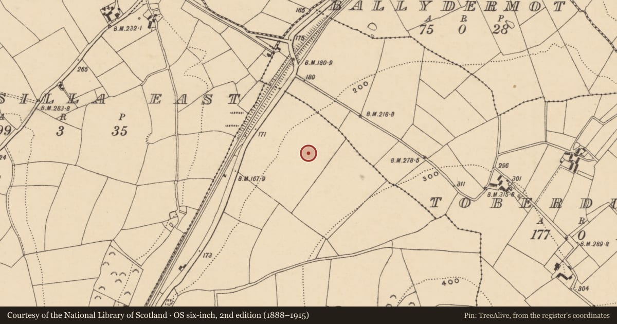
Slide toward Today to fade the historical sheet and see the modern map underneath.
David Rumsey Map Collection, Stanford LibrariesDavid Rumsey Map Collection, Stanford LibrariesDavid Rumsey Map Collection, Stanford LibrariesDavid Rumsey Map Collection, Stanford Libraries
4 historical maps cover this location, the earliest the 1799 map "Ireland." (David Rumsey Map Collection, Stanford Libraries).
Historical maps covering this location
- 1799 · Ireland. (David Rumsey Map Collection, Stanford Libraries)
- 1811 · Ireland. (David Rumsey Map Collection, Stanford Libraries)
- 1841 · Ireland. (David Rumsey Map Collection, Stanford Libraries)
- 1891 · Ireland 16 (David Rumsey Map Collection, Stanford Libraries)
This record in the National Monuments Service's Historic Environment Viewer ↗
The National Monuments Service's description
This site was excavated (E3502) during 2005 as a part of a complex area know as Site 42-44 of the N11 Gorey to Arklow link. An extensive area (dims. 250m N-S 48-60m E-W) across the road-take was excavated, but geophysical survey indicates that activity extended outside this to the E, W and SW. Situated on the lower NW-facing slope of Ask Hill.
This is Structure B in area B, a subcirular area (int. diam. 6.95-7.4m; ext. diam. 8.45-9.1m) defined by an annular ditch (Wth 0.5m; max. D 0.45m). The fill of the ditch was largely sterile, apart from the uppermost which produced some coarse pottery and 27 lithics. There was one internal cremation pit (dims 0.44m x 0.36m; D 0.24m), which was inside the perimeter at SE. Ring-ditch (WX007-076008-) is just to the NE, and ring-ditch (WX007-076010-) is immediately to the N. The N ditch of the double-ditched field boundary in the field system (WX007-076001-) showed an awareness of this monument by terminating well away from it, but the S drain of this feature is immediately to the S. (Stevens 2008a, 392; 2008, 35-6)
Compiled by: Michael Moore
Date of upload: 16 March, 2012
References
Stevens, P. 2008a Sites 42-44, Ask. Burial complex: standing stone, ring-ditch, penannular burial enclosure. in I. Bennett Excavations 2005. Summary accounts of archaeological excavations in Ireland, 391-4, No. 1603. Wordwell. Dublin
Stevens, P. 2008 N11 Gorey to Arklow link: Archaeogical Resolution. Preliminary Report A003/020 E3502 Site 42-44, Ask townland, Co. Wexford. Unpublished report: V. J. Keeley Ltd.
Nearby in the register
- Ring-ditchunder 1 mi
- Furnaceunder 1 mi
- Ring-ditchunder 1 mi
- Timber circleunder 1 mi
Other entries of the same register within about three miles of this one, by straight line.