Sites and Monuments Record · Ireland
Architectural feature
Meedian, County Westmeath, Ireland
The record
- Townland
- Meedian
- County
- Westmeath
- Country
- Ireland
- Coordinates
- 53.41377, -7.36523
- SMR number
- WM033-040001-
Slide toward Today to fade the historical sheet and see the modern map underneath.
David Rumsey Map Collection, Stanford LibrariesDavid Rumsey Map Collection, Stanford LibrariesDavid Rumsey Map Collection, Stanford LibrariesDavid Rumsey Map Collection, Stanford Libraries
4 historical maps cover this location, the earliest the 1790 map "Composite: Ireland." (David Rumsey Map Collection, Stanford Libraries).
Historical maps covering this location
- 1790 · Composite: Ireland. (David Rumsey Map Collection, Stanford Libraries)
- 1811 · Ireland. (David Rumsey Map Collection, Stanford Libraries)
- 1869 · Ireland. (David Rumsey Map Collection, Stanford Libraries)
- 1891 · Ireland 16 (David Rumsey Map Collection, Stanford Libraries)
This record in the National Monuments Service's Historic Environment Viewer ↗
The National Monuments Service's description
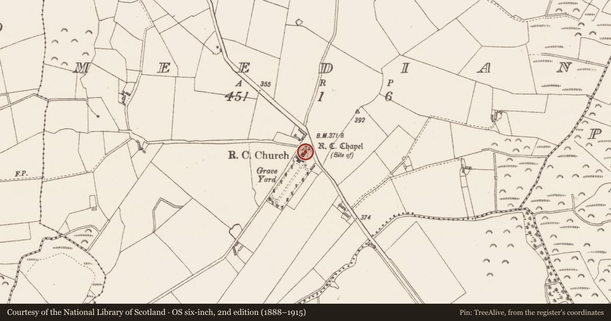
The modern R. C. Church at Meedian contains a carved doorway (WM033-040----) at the NE end along with a window over the entrance both of which appear to be 15th century in date. The present RC Church replaced was built on the site of an earlier T-plan R. C. Chapel which was marked as a 'chapel' in 1818 on the Boyd-Belvedere estate map of the area (SMR File). This T-plan chapel was probably built in the 18th century. There is no evidence to suggest that there was a pre-1700 church at this location. It is possible that the present medieval doorway and window were taken from a nearby medieval church and reused during the building of the present R. C. Church. The medieval church (WM033-031----) ruins at Castlelost located 3km to the NE contains dressed stone with similar stone carvings.
The window is a tall, twin-light ogee-headed window with hood moulding above. The terminals of the hood mouldings are decorated with a spiral pattern on the left hand side and interlaced pattern on the right hand side. There are three small carved motifs under the hood moulding consisting of a spiral, a star and a twin pronged spear.
To see a 3D model of this window visit; https://skfb.ly/oJALM
Compiled by: Caimin O'Brien
Date of upload: 10 July 2013
Nearby in the register
- Architectural featureunder 1 mi
- Earthworkunder 1 mi
- Castle - hall-houseunder 1 mi
- Churchunder 1 mi
Other entries of the same register within about three miles of this one, by straight line.