Sites and Monuments Record · Ireland
Ritual site - holy well
Annagh, County Westmeath, Ireland
The record
- Townland
- Annagh
- County
- Westmeath
- Country
- Ireland
- First-edition OS map
- Indicated
- Latest-edition OS map
- Outlined
- Coordinates
- 53.44200, -7.86306
- SMR number
- WM029-048----
Slide toward Today to fade the historical sheet and see the modern map underneath.
David Rumsey Map Collection, Stanford LibrariesDavid Rumsey Map Collection, Stanford LibrariesDavid Rumsey Map Collection, Stanford LibrariesDavid Rumsey Map Collection, Stanford Libraries
4 historical maps cover this location, the earliest the 1790 map "Composite: Ireland." (David Rumsey Map Collection, Stanford Libraries).
Historical maps covering this location
- 1790 · Composite: Ireland. (David Rumsey Map Collection, Stanford Libraries)
- 1811 · Ireland. (David Rumsey Map Collection, Stanford Libraries)
- 1869 · Ireland. (David Rumsey Map Collection, Stanford Libraries)
- 1891 · Ireland 16 (David Rumsey Map Collection, Stanford Libraries)
This record in the National Monuments Service's Historic Environment Viewer ↗
The National Monuments Service's description
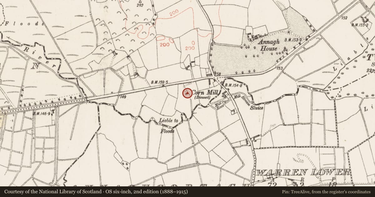
Folklore collected by P. Mulvey from the Christian Brothers School, Athlone recorded the following details about a holy well dedicated to St Patrick; 'St Patrick crossed the Shannon at the Ford on his way from Athleague to Tara. He is supposed to have worked miracles at the " Togher " or Ford. At Annagh Mills there is a well dedicated to the Saint. It is said that the Pagans at Mt Temple ill-treated the Saint and that he fled in the direction of Annagh' (The Schools’ Collection, Volume 0749, Page 226; https://www.duchas.ie/en/cbes/5009134/4989933/5116565).
Compiled by: Caimin O'Brien
Date of upload: 15 August 2023
Nearby in the register
- Crannogunder 1 mi
- Castle - motteunder 1 mi
- Cross - High cross (present location)under 1 mi
- Ritual site - holy wellunder 1 mi
Other entries of the same register within about three miles of this one, by straight line.