Sites and Monuments Record · Ireland
Inscribed stone (present location)
Athlone And Bigmeadow, County Westmeath, Ireland
The record
- Townland
- Athlone And Bigmeadow
- County
- Westmeath
- Country
- Ireland
- Coordinates
- 53.42292, -7.94278
- SMR number
- WM029-042088-
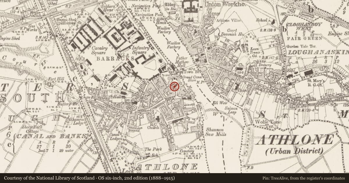
Slide toward Today to fade the historical sheet and see the modern map underneath.
David Rumsey Map Collection, Stanford LibrariesDavid Rumsey Map Collection, Stanford LibrariesDavid Rumsey Map Collection, Stanford LibrariesDavid Rumsey Map Collection, Stanford Libraries
4 historical maps cover this location, the earliest the 1790 map "Composite: Ireland." (David Rumsey Map Collection, Stanford Libraries).
Historical maps covering this location
- 1790 · Composite: Ireland. (David Rumsey Map Collection, Stanford Libraries)
- 1811 · Ireland. (David Rumsey Map Collection, Stanford Libraries)
- 1869 · Ireland. (David Rumsey Map Collection, Stanford Libraries)
- 1891 · Ireland 16 (David Rumsey Map Collection, Stanford Libraries)
This record in the National Monuments Service's Historic Environment Viewer ↗
The National Monuments Service's description
On display in Athlone Castle Museum. One of two stones (WM029-042089-) (dims. H 0.35m, Wth 0.46m, D 0.15m) removed from gateway to St. Peter's Port (see also WM029-042089-). The inscription reads 'WILL O' WISP AND JACK THE PRINTER'. Will O' Wisp and Jack the Printer refer to two prominent men with whom a man named Booth was in dispute. They were William Sproule, a Quaker merchant, and John Potts, a printer and owner of Saunders' newspaper. Booth owned the property and was otherwise known as 'Copper Fisted Jack', who levied a toll on all produce brought through the port. Stones probably date from the 18th century.
Compiled by: Rachel Barrett and Caimin O'Brien
Date of upload: 31 October 2013
Nearby in the register
- Inscribed stoneunder 1 mi
- Stone head (present location)under 1 mi
- Sheela-na-gig (present location)under 1 mi
- Armorial plaque (present location)under 1 mi
Other entries of the same register within about three miles of this one, by straight line.