Sites and Monuments Record · Ireland
House - indeterminate date
Milltown (Rathconrath By., Churchtown ED), County Westmeath, Ireland
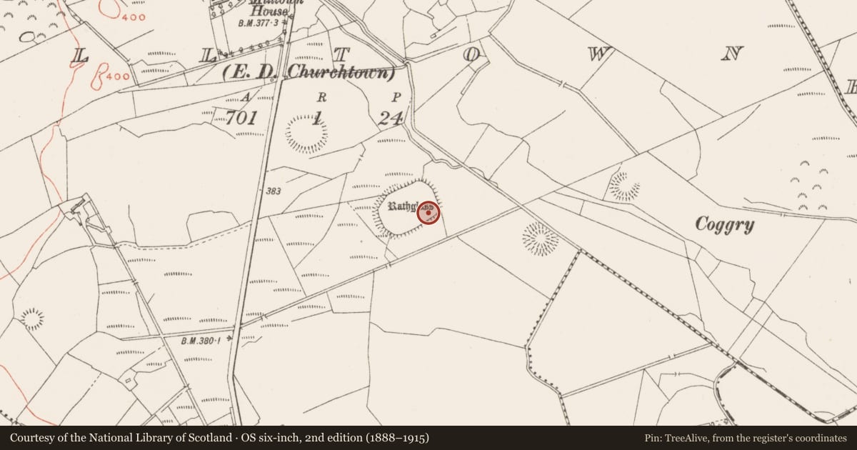
The record
- Townland
- Milltown (Rathconrath By., Churchtown ED)
- County
- Westmeath
- Country
- Ireland
- First-edition OS map
- Not indicated
- Latest-edition OS map
- Not indicated
- Coordinates
- 53.48432, -7.48857
- SMR number
- WM025-055001-
Slide toward Today to fade the historical sheet and see the modern map underneath.
David Rumsey Map Collection, Stanford LibrariesDavid Rumsey Map Collection, Stanford LibrariesDavid Rumsey Map Collection, Stanford LibrariesDavid Rumsey Map Collection, Stanford Libraries
4 historical maps cover this location, the earliest the 1790 map "Composite: Ireland." (David Rumsey Map Collection, Stanford Libraries).
Historical maps covering this location
- 1790 · Composite: Ireland. (David Rumsey Map Collection, Stanford Libraries)
- 1811 · Ireland. (David Rumsey Map Collection, Stanford Libraries)
- 1869 · Ireland. (David Rumsey Map Collection, Stanford Libraries)
- 1891 · Ireland 16 (David Rumsey Map Collection, Stanford Libraries)
This record in the National Monuments Service's Historic Environment Viewer ↗
The National Monuments Service's description
Situated on a slight rise, in gently undulating and low-lying wet pasture, overlooked by higher ground. In the SE quadrant of large enclosure (WM025-055----) is a long rectangular-shaped house site (dims. int. L 14.7m; int. Wth 5.6m; overall L 16.4m; overall Wth 9.8m) defined by a bank (Wth c. 2m) of earth and stone with entrance doorway (approx. Wth 1.6m) in NW corner. The interior is divided into an ENE compartment (int. L 6.2m; int. Wth 5.2m) and a WSW compartment (int. L 6.6m; int. Wth 5.8m) by a smaller earthen bank running NW-SE. This internal division has a gap (approx. Wth 1.6m) at the NW end, presumably representing an internal doorway. A low, broad earth and stone bank running NNW-SSE extends 29 meters to NNW from the N corner of the house site.
See attached plan and profile of monument surveyed and drawn by the ASI.
Compiled by Alison McQueen, Vera Rahilly and Caimin O’Brien.
Date of upload: 10 September 2019
Nearby in the register
- Enclosure - large enclosureunder 1 mi
- Ringfort - rathunder 1 mi
- Moated siteunder 1 mi
- Ringfort - rathunder 1 mi
Other entries of the same register within about three miles of this one, by straight line.