Sites and Monuments Record · Ireland
Water mill - unclassified
Sonna Demesne, County Westmeath, Ireland
The record
- Townland
- Sonna Demesne
- County
- Westmeath
- Country
- Ireland
- First-edition OS map
- Corn Mill, Tuck Mill
- Latest-edition OS map
- Not indicated
- Coordinates
- 53.56151, -7.46997
- SMR number
- WM018-152----
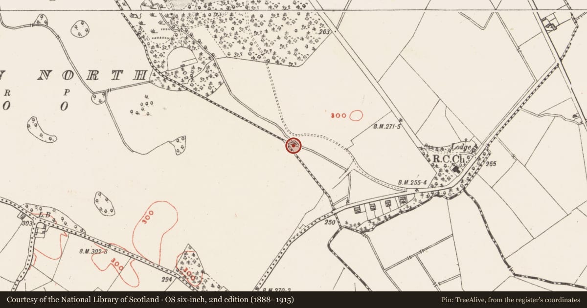
Slide toward Today to fade the historical sheet and see the modern map underneath.
David Rumsey Map Collection, Stanford LibrariesDavid Rumsey Map Collection, Stanford LibrariesDavid Rumsey Map Collection, Stanford LibrariesDavid Rumsey Map Collection, Stanford Libraries
4 historical maps cover this location, the earliest the 1790 map "Composite: Ireland." (David Rumsey Map Collection, Stanford Libraries).
Historical maps covering this location
- 1790 · Composite: Ireland. (David Rumsey Map Collection, Stanford Libraries)
- 1811 · Ireland. (David Rumsey Map Collection, Stanford Libraries)
- 1869 · Ireland. (David Rumsey Map Collection, Stanford Libraries)
- 1891 · Ireland 16 (David Rumsey Map Collection, Stanford Libraries)
This record in the National Monuments Service's Historic Environment Viewer ↗
The National Monuments Service's description
The precise location of a medieval mill in the townland of Sonna Demesne/Kildallan North has not been identified. The Corn Mill and Tuck Mill depicted on the 1837 ed. OS 6-inch map located on the townland boundary between Sonna Demesne and Kildallan North may be located on site of mill mentioned in the terrier of the 1655-9 Down Survey map of Templeoran parish. The terrier recorded stated that a 'Rivolett passeth through it through the Towne of Kildolan and Sonnagh on which Standeth a mill belonging to Sonnagh' (NLI MS 723-4). This location described in the Down Survey matches very closely the location of the Corn and Tuck Mill depicted on the 1837 ed. OS 6-inch map.
Compiled by: Caimin O'Brien
Date of upload: 23 July 2015
References
NLI, MS 723-4 - National Library of Ireland, The parish maps of the Down Survey for the County of Westmeath, attested by W. Petty, in 1659. Copied by Daniel O'Brien. A set of 67 maps with accompanying terriers in two volumes, 1786-7. Dublin.
Nearby in the register
- Barrow - ditch barrowunder 1 mi
- Enclosureunder 1 mi
- Flat cemeteryunder 1 mi
- Ringfort - unclassifiedunder 1 mi
Other entries of the same register within about three miles of this one, by straight line.