Sites and Monuments Record · Ireland
Cross
MacReddin West, County Wicklow, Ireland
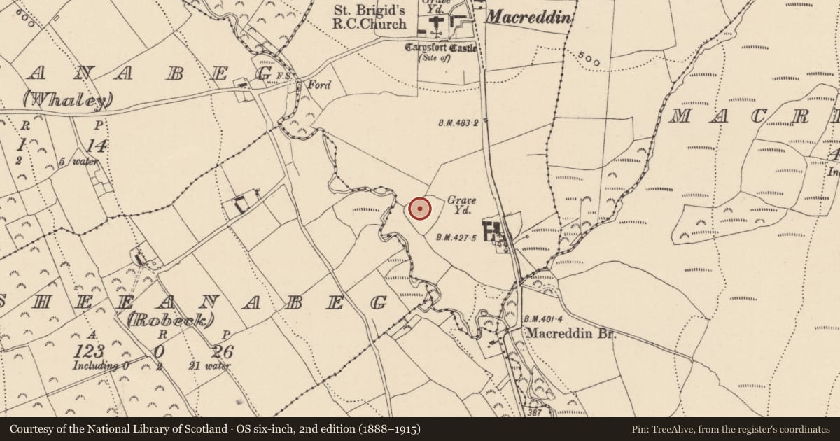
The record
- Townland
- MacReddin West
- County
- Wicklow
- Country
- Ireland
- First-edition OS map
- Not indicated
- Latest-edition OS map
- Not indicated
- Coordinates
- 52.88105, -6.33259
- SMR number
- WI034-009005-
Slide toward Today to fade the historical sheet and see the modern map underneath.
David Rumsey Map Collection, Stanford LibrariesDavid Rumsey Map Collection, Stanford LibrariesDavid Rumsey Map Collection, Stanford LibrariesDavid Rumsey Map Collection, Stanford Libraries
4 historical maps cover this location, the earliest the 1790 map "Composite: Ireland." (David Rumsey Map Collection, Stanford Libraries).
Historical maps covering this location
- 1790 · Composite: Ireland. (David Rumsey Map Collection, Stanford Libraries)
- 1799 · Ireland. (David Rumsey Map Collection, Stanford Libraries)
- 1811 · Ireland. (David Rumsey Map Collection, Stanford Libraries)
- 1891 · Ireland 16 (David Rumsey Map Collection, Stanford Libraries)
This record in the National Monuments Service's Historic Environment Viewer ↗
The National Monuments Service's description
A granite cross (H 0.65m; Wth 0.36m; T 0.13m thick; Wth of shaft 0.24m) with short, stubby arms and no evidence for a chamfer. On one face is a crucifixion scene in relief (the body is in bold relief, raised 0.2m). On the opposite face in figure in relief (raised 1.5cm). The upper portion of the figure’s limbs survive, but the shaft of the cross has been broken at this point. (Corlett 2006, 140-4)
Compiled by: Chris Corlett and Claire Breen
Date of upload: 12 June 2012
References
Corlett C. 2005 Two recently discovered crosses from Co. Wicklow. Journal of the Royal Society of Antiquaries of Ireland 135, 140-44.
Nearby in the register
Other entries of the same register within about three miles of this one, by straight line.