Sites and Monuments Record · Ireland
Graveyard
Kilpoole Upper, County Wicklow, Ireland
The record
- Townland
- Kilpoole Upper
- County
- Wicklow
- Country
- Ireland
- First-edition OS map
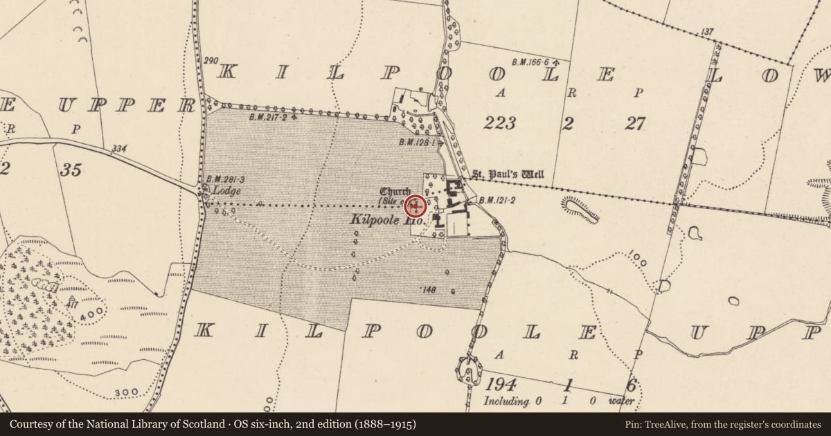
- Grave Yard
- Latest-edition OS map
- Not indicated
- Coordinates
- 52.94480, -6.03116
- SMR number
- WI031-007002-
Slide toward Today to fade the historical sheet and see the modern map underneath.
David Rumsey Map Collection, Stanford LibrariesDavid Rumsey Map Collection, Stanford LibrariesDavid Rumsey Map Collection, Stanford LibrariesDavid Rumsey Map Collection, Stanford Libraries
4 historical maps cover this location, the earliest the 1799 map "Ireland." (David Rumsey Map Collection, Stanford Libraries).
Historical maps covering this location
- 1799 · Ireland. (David Rumsey Map Collection, Stanford Libraries)
- 1811 · Ireland. (David Rumsey Map Collection, Stanford Libraries)
- 1841 · Ireland. (David Rumsey Map Collection, Stanford Libraries)
- 1891 · Ireland 16 (David Rumsey Map Collection, Stanford Libraries)
This record in the National Monuments Service's Historic Environment Viewer ↗
The National Monuments Service's description
Situated on level ground with gentle E-facing slopes above and below the site. Traditionally the site of a monastic foundation associated with the Welsh saint Pol (Paul) and later belonging to the Templars and subsequently the Hospitallers in the 16th century. Not visible at ground level. Bones are believed locally to have been found during the construction of an extension to the adjacent house in the 1950s (Price 1967, 435). A dry fosse on the N edge of the garden could represent the N boundary of the graveyard. A holy well (WI031-008----), also dedicated to St Paul, lies c. 100m to the E in Kilpoole Lower.
The above description is derived from the published 'Archaeological Inventory of County Wicklow' (Dublin: Stationery Office, 1997). In certain instances the entries have been revised and updated in the light of recent research.
Date of upload: 12 July 2013
References
Price, L. 1967 The place-names of Co. Wicklow. VII - The baronies of Newcastle and Arklow. The Dublin Institute of Advanced Studies (382-532).
Nearby in the register
- Ecclesiastical siteunder 1 mi
- Churchunder 1 mi
- Ritual site - holy wellunder 1 mi
- Enclosureunder 1 mi
Other entries of the same register within about three miles of this one, by straight line.