Sites and Monuments Record · Ireland
Hut site
Fananierin, County Wicklow, Ireland
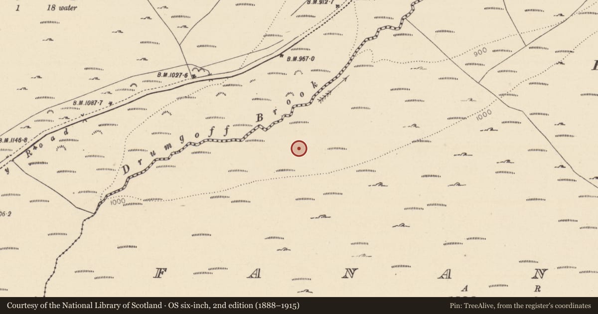
The record
- Townland
- Fananierin
- County
- Wicklow
- Country
- Ireland
- First-edition OS map
- Not indicated
- Latest-edition OS map
- Not indicated
- Coordinates
- 52.93945, -6.36391
- SMR number
- WI029-020001-
Slide toward Today to fade the historical sheet and see the modern map underneath.
David Rumsey Map Collection, Stanford LibrariesDavid Rumsey Map Collection, Stanford LibrariesDavid Rumsey Map Collection, Stanford LibrariesDavid Rumsey Map Collection, Stanford Libraries
4 historical maps cover this location, the earliest the 1790 map "Composite: Ireland." (David Rumsey Map Collection, Stanford Libraries).
Historical maps covering this location
- 1790 · Composite: Ireland. (David Rumsey Map Collection, Stanford Libraries)
- 1799 · Ireland. (David Rumsey Map Collection, Stanford Libraries)
- 1811 · Ireland. (David Rumsey Map Collection, Stanford Libraries)
- 1891 · Ireland 16 (David Rumsey Map Collection, Stanford Libraries)
This record in the National Monuments Service's Historic Environment Viewer ↗
The National Monuments Service's description
On the lower N facing slopes of Fananierin Mountain and the Drumgoff Brook valley, in rough grazing. A small circular hut (diam. c. 4m) defined by a collapsed stone wall (Wth 0.80m; H 0.2m) with a wide break at the NE where there may have been an entrance. One of a number of 'small rings of stones' noted by Price in 1937 (Corlett and Weaver 2002 Vol. 1, 286). (See also WI029-018----, WI029-019----, WI029-020002- and WI029-022----).
Compiled by: Claire Breen
Date of upload: 05 July 2013
References
Corlett, C. and Weaver, M. (eds) 2002 The Price Notebooks. 2 vols. Dúchas the Heritage Service. Dublin.
Nearby in the register
Other entries of the same register within about three miles of this one, by straight line.