Sites and Monuments Record · Ireland
Cross-slab
Cloghnagaune, County Wicklow, Ireland
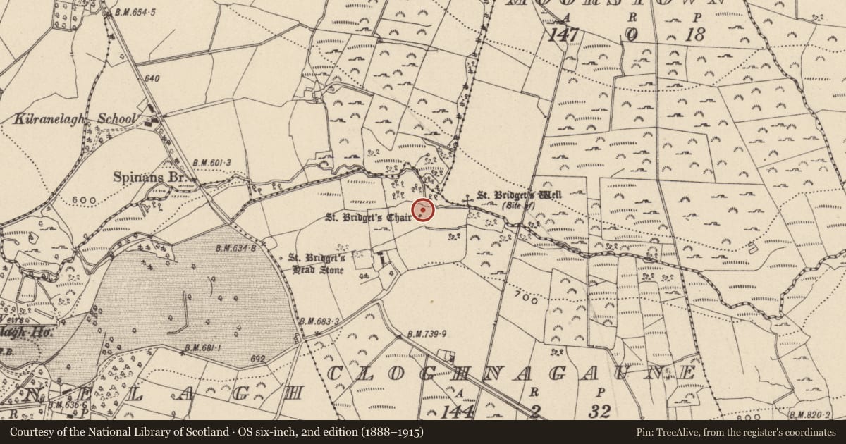
The record
- Townland
- Cloghnagaune
- County
- Wicklow
- Country
- Ireland
- Coordinates
- 52.95266, -6.62709
- SMR number
- WI027-031004-
Slide toward Today to fade the historical sheet and see the modern map underneath.
David Rumsey Map Collection, Stanford LibrariesDavid Rumsey Map Collection, Stanford LibrariesDavid Rumsey Map Collection, Stanford LibrariesDavid Rumsey Map Collection, Stanford Libraries
4 historical maps cover this location, the earliest the 1790 map "Composite: Ireland." (David Rumsey Map Collection, Stanford Libraries).
Historical maps covering this location
- 1790 · Composite: Ireland. (David Rumsey Map Collection, Stanford Libraries)
- 1799 · Ireland. (David Rumsey Map Collection, Stanford Libraries)
- 1830 · V.3:11-15:XV. Britisches Reich. C. Kon: Ireland. a. Prov: Leinster. Counties: 1-12 (David Rumsey Map Collection, Stanford Libraries)
- 1891 · Ireland 16 (David Rumsey Map Collection, Stanford Libraries)
This record in the National Monuments Service's Historic Environment Viewer ↗
The National Monuments Service's description
A small cross-slab (H 0.6m; Wth 0.56m) projecting 0.49m above the level of a flat oval slab surrounded by a wall of upright stones, probably forming a penitential station (WI027-031002-). It has a simple Latin cross in relief; both the slab itself and the cross project below the level of the flat slab.
Compiled by: Mary Tunney
Date of upload: 16 October 2012
This monument is subject to a preservation order made under the National Monuments Acts 1930 to 2014 (PO no. 111/1940).
Nearby in the register
- Penitential stationunder 1 mi
- Ritual site - holy wellunder 1 mi
- Cupmarked stoneunder 1 mi
- Ritual site - holy/saint's stoneunder 1 mi
Other entries of the same register within about three miles of this one, by straight line.