Sites and Monuments Record · Ireland
Graveyard
Brockagh, County Wicklow, Ireland
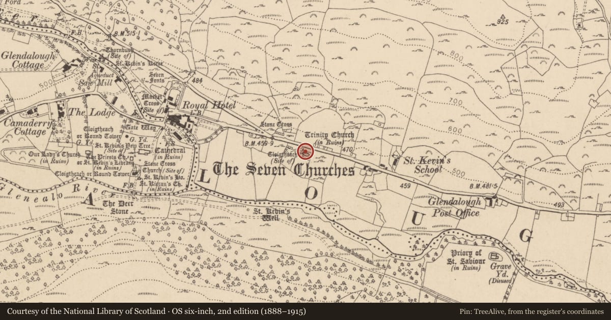
The record
- Townland
- Brockagh
- County
- Wicklow
- Country
- Ireland
- Latest-edition OS map
- Not indicated
- Coordinates
- 53.01050, -6.32016
- SMR number
- WI023-014005-
Slide toward Today to fade the historical sheet and see the modern map underneath.
David Rumsey Map Collection, Stanford LibrariesDavid Rumsey Map Collection, Stanford LibrariesDavid Rumsey Map Collection, Stanford LibrariesDavid Rumsey Map Collection, Stanford Libraries
4 historical maps cover this location, the earliest the 1790 map "Composite: Ireland." (David Rumsey Map Collection, Stanford Libraries).
Historical maps covering this location
- 1790 · Composite: Ireland. (David Rumsey Map Collection, Stanford Libraries)
- 1799 · Ireland. (David Rumsey Map Collection, Stanford Libraries)
- 1811 · Ireland. (David Rumsey Map Collection, Stanford Libraries)
- 1891 · Ireland 16 (David Rumsey Map Collection, Stanford Libraries)
This record in the National Monuments Service's Historic Environment Viewer ↗
The National Monuments Service's description
Trinity Church (WI023-014001-) stands in a small rectangular enclosure/churchyard (dims L 27.5m E-W; Wth 16m), defined by a well-built drystone wall (with some mortar in the wall along the road to the N) which averages 1m in height and 0.8m thick. Lies on a narrow terrace in a S-facing slope overlooking low, wet, rushy, flooded pasture immediately to the S.
No burial markers can be seen or evidence of it having been used as a graveyard (though there is a cross slab (WI023-014001-) reused as a step giving acccess to the site from the road to the N).
Compiled by: Gearóid Conroy
Date of upload: 12 October 2012
Nearby in the register
- Churchunder 1 mi
- Cross-slabunder 1 mi
- Children's burial groundunder 1 mi
- Cross - Wayside crossunder 1 mi
Other entries of the same register within about three miles of this one, by straight line.