Sites and Monuments Record · Ireland
Excavation - miscellaneous
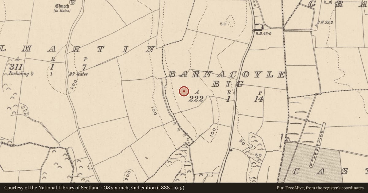
Barnacoyle Big, County Wicklow, Ireland
The record
- Townland
- Barnacoyle Big
- County
- Wicklow
- Country
- Ireland
- First-edition OS map
- Not indicated
- Latest-edition OS map
- Not indicated
- Coordinates
- 53.04449, -6.07248
- SMR number
- WI019-047----
Slide toward Today to fade the historical sheet and see the modern map underneath.
David Rumsey Map Collection, Stanford LibrariesDavid Rumsey Map Collection, Stanford LibrariesDavid Rumsey Map Collection, Stanford LibrariesDavid Rumsey Map Collection, Stanford Libraries
4 historical maps cover this location, the earliest the 1799 map "Ireland." (David Rumsey Map Collection, Stanford Libraries).
Historical maps covering this location
- 1799 · Ireland. (David Rumsey Map Collection, Stanford Libraries)
- 1811 · Ireland. (David Rumsey Map Collection, Stanford Libraries)
- 1841 · Ireland. (David Rumsey Map Collection, Stanford Libraries)
- 1891 · Ireland 16 (David Rumsey Map Collection, Stanford Libraries)
This record in the National Monuments Service's Historic Environment Viewer ↗
The National Monuments Service's description
A small prehistoric pit, located on the south-west flank of a low hill, in tillage, was archaeologically excavated (Licence No. 01E0434). The pit measured 2.1m north-south by 0.9-1.07m, with a depth of 0.5m. Two possible post-holes were present at the northern end. The cut was generally U-shaped in profile, with straight sides on the north, south, south-west, west and north-west, but with more gradually sloping sides on the north-east, east and south-east. The lower fill of the pit cut consisted of a moderately compact brown, yellow-mottled, clay sand which contained occasional fragments of charcoal and small stones. This fill was present throughout the cut and measured 2.1m north-south by 1.07m, with a depth of approximately 0.05m. At the sides it blended into the natural subsoil. The upper fill of the cut produced 34 sherds of decorated prehistoric pottery. This latter fill was a moderately compact dark brown clay sand with occasional inclusions of small stones and charcoal fragments, 0.28-0.14m deep. Analysis of the pottery by Anna Brindley suggested that a single vessel was represented by the sherds, and that it is likely to date from the early Bronze Age. Elements of the decoration point to the Vase tradition, but the form of the rim and cordons points to the Cordoned Urn tradition (Bennett 2003, 412).
Date of upload: 29 September 2012
References
Bennett, I. (ed.) 2003 Excavations 2001: summary accounts of archaeological excavations in Ireland. Bray. Wordwell.
Nearby in the register
- Fulacht fiaunder 1 mi
- Fulacht fiaunder 1 mi
- Graveyardunder 1 mi
- Architectural featureunder 1 mi
Other entries of the same register within about three miles of this one, by straight line.