Sites and Monuments Record · Ireland
Church
Killiskey, County Wicklow, Ireland
The record
- Townland
- Killiskey
- County
- Wicklow
- Country
- Ireland
- Latest-edition OS map
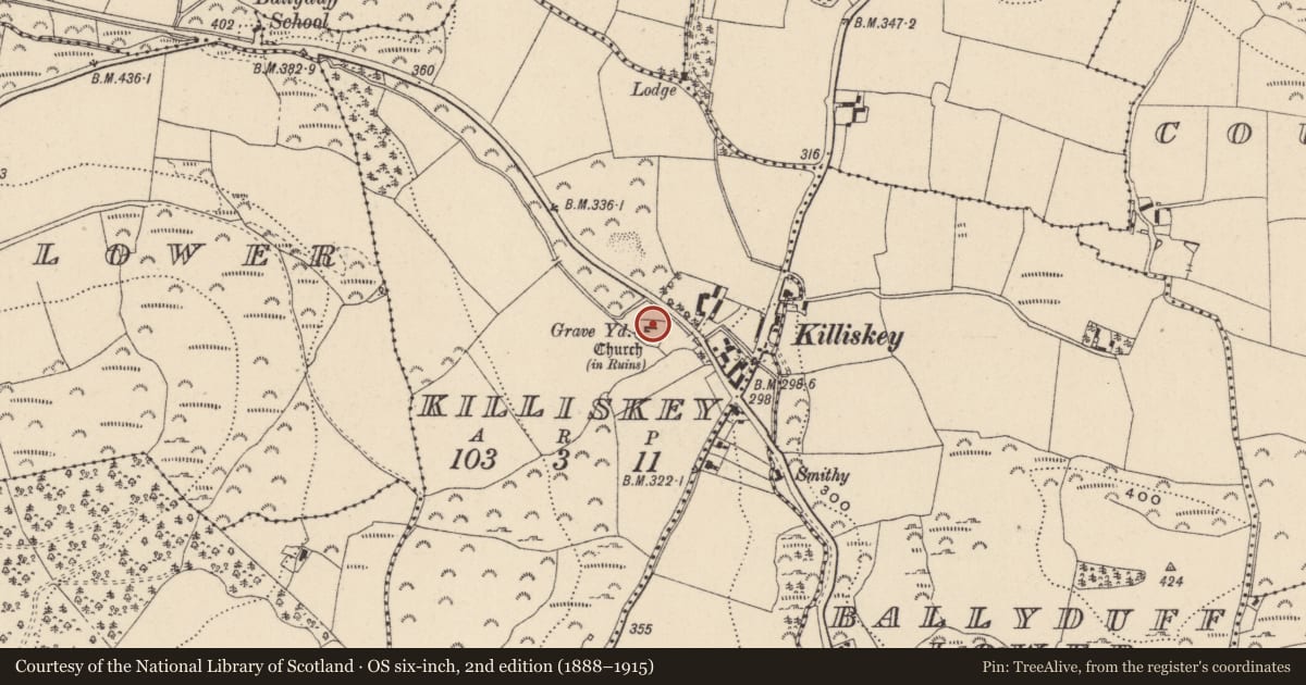
- Church (in Ruins)
- Coordinates
- 53.03935, -6.11544
- SMR number
- WI019-011001-
Slide toward Today to fade the historical sheet and see the modern map underneath.
David Rumsey Map Collection, Stanford LibrariesDavid Rumsey Map Collection, Stanford LibrariesDavid Rumsey Map Collection, Stanford LibrariesDavid Rumsey Map Collection, Stanford Libraries
4 historical maps cover this location, the earliest the 1799 map "Ireland." (David Rumsey Map Collection, Stanford Libraries).
Historical maps covering this location
- 1799 · Ireland. (David Rumsey Map Collection, Stanford Libraries)
- 1811 · Ireland. (David Rumsey Map Collection, Stanford Libraries)
- 1841 · Ireland. (David Rumsey Map Collection, Stanford Libraries)
- 1891 · Ireland 16 (David Rumsey Map Collection, Stanford Libraries)
This record in the National Monuments Service's Historic Environment Viewer ↗
The National Monuments Service's description
Situated on a gentle NE-facing slope near the public road. The church formed part of the Archbishop of Dublin's manor of Castlekevin at the beginning of the thirteenth century and both church and associated lands were granted by Archbishop Henry de Loundres to the Priory of St Thomas's (outside Dublin) between 1212 and 1225 (Ronan 1928, 136-7). A simple rectangular structure (int. L 21.9m; int. Wth 5.5m; wall T 0.84m). The N wall and W gable survive largely intact; the remainder consists of the foundations only. Described in the OS Letters as a door with pointed arch in the S wall (O'Flanagan 1928, 79). The church is in the centre of a quadrangular graveyard (max. dims. 40m E-W; 30m N-S) enclosed by a modern stone wall. The S wall follows a gentle curve. A cylindrical granite font sits against the W wall of the graveyard.
Date of upload/revision: 28 September 2012
References
Ronan, Rev. M.V. 1928 The ancient churches of the deanery of Wicklow. Journal of the Royal Society of Antiquaries of Ireland 58, 132-55.
Nearby in the register
- Graveyardunder 1 mi
- Fontunder 1 mi
- Bullaun stoneunder 1 mi
- Enclosureunder 1 mi
Other entries of the same register within about three miles of this one, by straight line.