Sites and Monuments Record · Ireland
Church
Woodlands, County Wicklow, Ireland
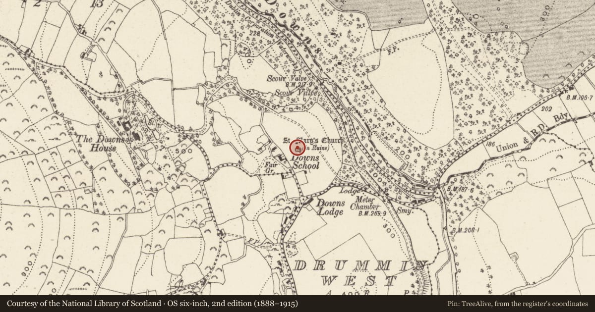
The record
- Townland
- Woodlands
- County
- Wicklow
- Country
- Ireland
- Latest-edition OS map
- St. Marys Church (in Ruins)
- Coordinates
- 53.12971, -6.11062
- SMR number
- WI013-003----
Slide toward Today to fade the historical sheet and see the modern map underneath.
David Rumsey Map Collection, Stanford LibrariesDavid Rumsey Map Collection, Stanford LibrariesDavid Rumsey Map Collection, Stanford LibrariesDavid Rumsey Map Collection, Stanford Libraries
4 historical maps cover this location, the earliest the 1799 map "Ireland." (David Rumsey Map Collection, Stanford Libraries).
Historical maps covering this location
- 1799 · Ireland. (David Rumsey Map Collection, Stanford Libraries)
- 1811 · Ireland. (David Rumsey Map Collection, Stanford Libraries)
- 1841 · Ireland. (David Rumsey Map Collection, Stanford Libraries)
- 1891 · Ireland 16 (David Rumsey Map Collection, Stanford Libraries)
This record in the National Monuments Service's Historic Environment Viewer ↗
The National Monuments Service's description
National Monument in state ownership No. 135. Situated on a gentle E-facing slope overlooking the Glen of the Downs. A nave and chancel church (dims. 12.85m E-W; 6.55m N-S) of uncoursed rubble with a bellcote at the W end. The door at the W has dressed and chamfered granite jambs, but the arch does not survive. A simple flat-arched window occurs in the gable above the door. There are string courses in the W gable at the level of the top of the walls and the top of the window. The E window has a shallow arch and there are opposing flat-arched windows in the N and S walls at the E end of the church. A small wall niche occurs on each wall at the S end. A modern internal buttress stands against the S wall; the building was restored in 1906. A small granite stoup or font with a circular basin lies in the W end of the church.
The above description is derived from the published 'Archaeological Inventory of County Wicklow' (Dublin: Stationery Office, 1997). In certain instances the entries have been revised and updated in the light of recent research.
Date of upload/revision: 17 December 2008
Nearby in the register
- Fontunder 1 mi
- Enclosureunder 1 mi
- Fulacht fiaunder 1 mi
- Bullaun stoneunder 1 mi
Other entries of the same register within about three miles of this one, by straight line.