Sites and Monuments Record · Ireland
Hut site
Kilbeg, County Wicklow, Ireland
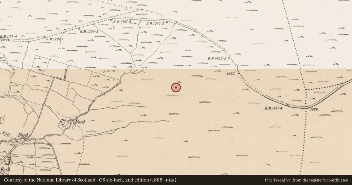
The record
- Townland
- Kilbeg
- County
- Wicklow
- Country
- Ireland
- First-edition OS map
- Not indicated
- Latest-edition OS map
- Not indicated
- Coordinates
- 53.13900, -6.44886
- SMR number
- WI010-059004-
Slide toward Today to fade the historical sheet and see the modern map underneath.
David Rumsey Map Collection, Stanford LibrariesDavid Rumsey Map Collection, Stanford LibrariesDavid Rumsey Map Collection, Stanford LibrariesDavid Rumsey Map Collection, Stanford Libraries
4 historical maps cover this location, the earliest the 1799 map "Ireland." (David Rumsey Map Collection, Stanford Libraries).
Historical maps covering this location
- 1799 · Ireland. (David Rumsey Map Collection, Stanford Libraries)
- 1811 · Ireland. (David Rumsey Map Collection, Stanford Libraries)
- 1830 · V.3:11-15:XV. Britisches Reich. C. Kon: Ireland. a. Prov: Leinster. Counties: 1-12 (David Rumsey Map Collection, Stanford Libraries)
- 1891 · Ireland 16 (David Rumsey Map Collection, Stanford Libraries)
This record in the National Monuments Service's Historic Environment Viewer ↗
The National Monuments Service's description
On a gentle SW-facing, lower slope of Sorrell Hill, overlooking a valley formed by Black Hill to the S. In an area of open mountain grazing outside modernly enclosed land. A complex of six hut sites (WI010-059001- to WI010-059005- and WI010-059008-), clearance cairns (WI010-059006-) and field boundary walls (WI010-059007-) lies within a relatively small and well-defined area, bounded by a small stream at the SE, and at the NW by a NE-SW field boundary, which is probably 19th century in date. At the SE end of the group an L-shaped stone wall is probably the remains of a modern sheep pen. Otherwise, the hut sites, clearance cairns and stone walls appear to be contemporary, and are likely to represent booleying or transhumance of an early date, perhaps during the Early Christian period. The hut sites are scattered in a roughly linear fashion along the edge of a well-defined scarp, where the ground falls away into boggy, wet ground. Hut site D (WI010-059004-) is slightly oval in plan (int. diams. 3m NE-SW; 2.7m NW-SE). It is defined by a low setting of stones (Wth 0.7m; H 0.2m). There is no obvious entrance, but it was most likely at the SE. At the ENE side is a small, well-defined, subcircular annexe (int. diams. 2m; 1.8m) with a probable entrance at the SSE.
Compiled by: Gearóid Conroy and Matt Kelleher
Date of upload: 18 December 2012
Nearby in the register
- Hut siteunder 1 mi
- Hut siteunder 1 mi
- Field boundaryunder 1 mi
- Cairn - clearance cairnunder 1 mi
Other entries of the same register within about three miles of this one, by straight line.