Sites and Monuments Record · Ireland
Megalithic tomb - wedge tomb
Carrig, County Wicklow, Ireland
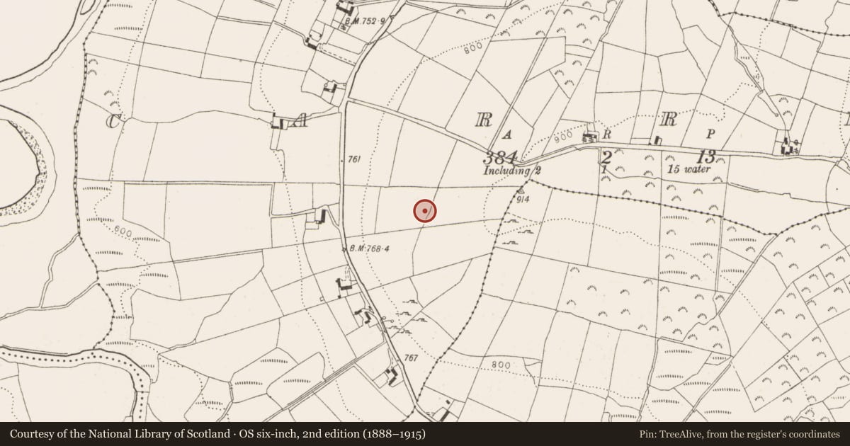
The record
- Townland
- Carrig
- County
- Wicklow
- Country
- Ireland
- Latest-edition OS map
- Not indicated
- Coordinates
- 53.15114, -6.51475
- SMR number
- WI005-079----
Slide toward Today to fade the historical sheet and see the modern map underneath.
David Rumsey Map Collection, Stanford LibrariesDavid Rumsey Map Collection, Stanford LibrariesDavid Rumsey Map Collection, Stanford LibrariesDavid Rumsey Map Collection, Stanford Libraries
4 historical maps cover this location, the earliest the 1799 map "Ireland." (David Rumsey Map Collection, Stanford Libraries).
Historical maps covering this location
- 1799 · Ireland. (David Rumsey Map Collection, Stanford Libraries)
- 1811 · Ireland. (David Rumsey Map Collection, Stanford Libraries)
- 1830 · V.3:11-15:XV. Britisches Reich. C. Kon: Ireland. a. Prov: Leinster. Counties: 1-12 (David Rumsey Map Collection, Stanford Libraries)
- 1891 · Ireland 16 (David Rumsey Map Collection, Stanford Libraries)
This record in the National Monuments Service's Historic Environment Viewer ↗
The National Monuments Service's description
Part of a complex of prehistoric sites (WI005-084----, WI005-081----, WI005-083----, WI005-110----, WI005-111----) on the lower western slopes of Lugnagun overlooking Blessington Reservoir. The rectangular gallery (dims. 6m x 1m) is represented by sidestones, flanked on either side by an outer wall or stone setting. There is a single fa¸ade stone at the SE and the kerb is substantially intact, particularly on the N side. The gallery is divided into a slightly wedge-shaped portico (dims. 1.8m x 1.5-1.8m) at the SW end separated from the remainder by two large jambstones with a line of smaller stones between them apparently forming a sill-like feature. A number of prostrate slabs outside the W end of the gallery may be displaced roof-slabs. The cairn (dims. 10.5m x 8.8m) is oval. The tomb is aligned WSW-ENE with the entrance facing SW down a marked slope with a gentler gradient above the site. (Ó Nualláin 1989, 140)
The above description is derived from the published 'Archaeological Inventory of County Wicklow' (Dublin: Stationery Office, 1997). In certain instances the entries have been revised and updated in the light of recent research.
Date of upload/revision: 17 December 2008
Nearby in the register
- Enclosureunder 1 mi
- Cairn - unclassifiedunder 1 mi
- Standing stoneunder 1 mi
- Cairn - unclassifiedunder 1 mi
Other entries of the same register within about three miles of this one, by straight line.