Sites and Monuments Record · Ireland
Enclosure
Kilbride (Talbotstown Lower By.), County Wicklow, Ireland
The record
- Townland
- Kilbride (Talbotstown Lower By.)
- County
- Wicklow
- Country
- Ireland
- Coordinates
- 53.19869, -6.46403
- SMR number
- WI001-022001-
Slide toward Today to fade the historical sheet and see the modern map underneath.
David Rumsey Map Collection, Stanford LibrariesDavid Rumsey Map Collection, Stanford LibrariesDavid Rumsey Map Collection, Stanford LibrariesDavid Rumsey Map Collection, Stanford Libraries
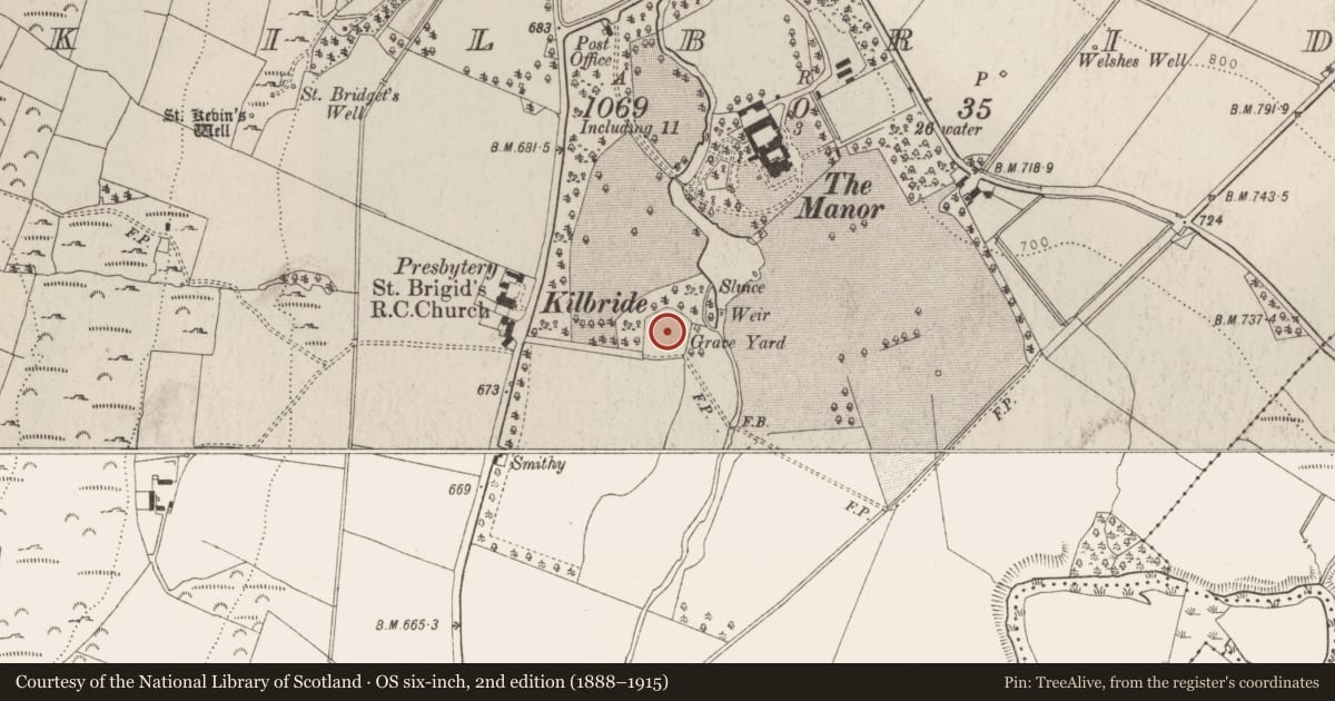
4 historical maps cover this location, the earliest the 1799 map "Ireland." (David Rumsey Map Collection, Stanford Libraries).
Historical maps covering this location
- 1799 · Ireland. (David Rumsey Map Collection, Stanford Libraries)
- 1811 · Ireland. (David Rumsey Map Collection, Stanford Libraries)
- 1830 · V.3:11-15:XV. Britisches Reich. C. Kon: Ireland. a. Prov: Leinster. Counties: 1-12 (David Rumsey Map Collection, Stanford Libraries)
- 1891 · Ireland 16 (David Rumsey Map Collection, Stanford Libraries)
This record in the National Monuments Service's Historic Environment Viewer ↗
The National Monuments Service's description
Situated on the NE edge of a low ridge overlooking the Brittas river (to the E). This graveyard (WI001-022003-) is possibly the site of an Anglo-Norman parish church (WI001-022002-; Price 1953, 274) of which there are no visible remains at ground level. Part of an enclosure (WI001-022001-) defined by an earthen bank (Wth 2.5m; H 1.8m), predating the eighteenth-century graveyard wall, survives on the E side. According to local tradition this is the original location of a font which is currently located outside St Brigid's Church c. 200m to the W (see WI001-046----) . There is an early graveslab (WI001-022005-) in the W sector of the graveyard and a cross-slab (WI001-022006-) from this graveyard is in the National Museum of Ireland (Reg. No. 1970:189).
The above description is derived from the published 'Archaeological Inventory of County Wicklow' (Dublin: Stationery Office, 1997), no. 837. In this instance the entrry has been revised and updated in the light of recent research.
Compiled by: Paul Walsh
Date of upload: 19 November 2012
Nearby in the register
Other entries of the same register within about three miles of this one, by straight line.