Sites and Monuments Record · Ireland
Armorial plaque (present location)
Gardenmorris, County Waterford, Ireland
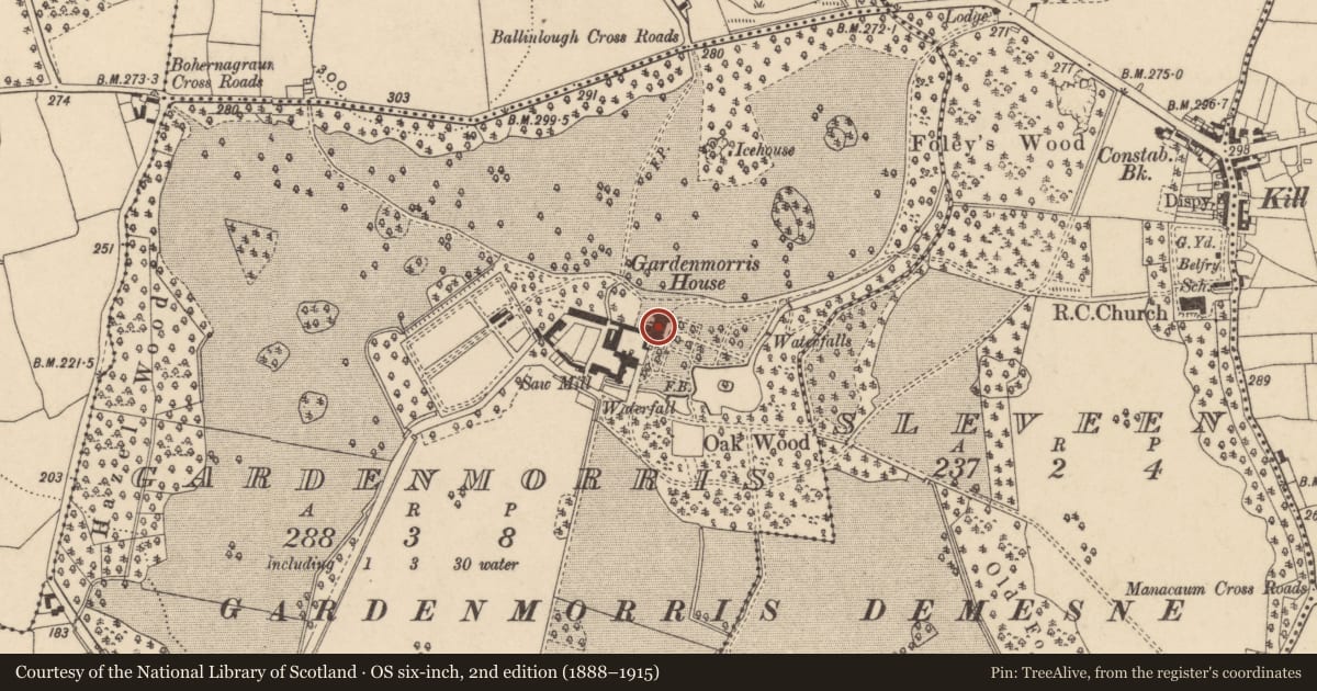
The record
- Townland
- Gardenmorris
- County
- Waterford
- Country
- Ireland
- Latest-edition OS map
- Not indicated
- Coordinates
- 52.17453, -7.34660
- SMR number
- WA025-003001-
Slide toward Today to fade the historical sheet and see the modern map underneath.
David Rumsey Map Collection, Stanford LibrariesDavid Rumsey Map Collection, Stanford LibrariesDavid Rumsey Map Collection, Stanford LibrariesDavid Rumsey Map Collection, Stanford Libraries
4 historical maps cover this location, the earliest the 1790 map "Composite: Ireland." (David Rumsey Map Collection, Stanford Libraries).
Historical maps covering this location
- 1790 · Composite: Ireland. (David Rumsey Map Collection, Stanford Libraries)
- 1869 · Ireland. (David Rumsey Map Collection, Stanford Libraries)
- 1882 · Ireland (southern half). (David Rumsey Map Collection, Stanford Libraries)
- 1891 · Ireland 16 (David Rumsey Map Collection, Stanford Libraries)
This record in the National Monuments Service's Historic Environment Viewer ↗
The National Monuments Service's description
Manning (2012, 144) records that ‘There is also a Shee plaque, dated 1608, in the conservatory at Gardenmorris, Co. Waterford, which is likely to have come from Sheastown [Co. Kilkenny] (Bence-Jones 1978, 131). The inscription, as visible in the published photograph, reads: 'Insignia Marci Shee fili Richardi Shee equitis aurati . . .' (The arms of Marcus Shee son of Sir Richard Shee ...').’
Compiled by: Paul Walsh
Date of upload: 28 August 2013
References
Manning, C. 2012 Kilferagh, Co. Kilkenny: a medieval parish and its church. Journal of Irish Archaeology 21, 139-56.
Nearby in the register
- House - 17th centuryunder 1 mi
- Churchunder 1 mi
- Burnt moundunder 1 mi
- Burnt spreadunder 1 mi
Other entries of the same register within about three miles of this one, by straight line.