Sites and Monuments Record · Ireland
Sundial
Lismore (Coshmore and Coshbride By.), County Waterford, Ireland
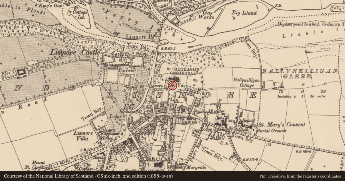
The record
- Townland
- Lismore (Coshmore and Coshbride By.)
- County
- Waterford
- Country
- Ireland
- First-edition OS map
- Not indicated
- Latest-edition OS map
- Not indicated
- Coordinates
- 52.13954, -7.92944
- SMR number
- WA021-019024-
Slide toward Today to fade the historical sheet and see the modern map underneath.
David Rumsey Map Collection, Stanford LibrariesDavid Rumsey Map Collection, Stanford LibrariesDavid Rumsey Map Collection, Stanford LibrariesDavid Rumsey Map Collection, Stanford Libraries
4 historical maps cover this location, the earliest the 1790 map "Composite: Ireland." (David Rumsey Map Collection, Stanford Libraries).
Historical maps covering this location
- 1790 · Composite: Ireland. (David Rumsey Map Collection, Stanford Libraries)
- 1882 · Ireland (southern half). (David Rumsey Map Collection, Stanford Libraries)
- 1891 · Ireland 16 (David Rumsey Map Collection, Stanford Libraries)
- 1904 · Sheet 13. (David Rumsey Map Collection, Stanford Libraries)
This record in the National Monuments Service's Historic Environment Viewer ↗
The National Monuments Service's description
Noted during a clean-up in the graveyard (WA021-019004-) of St. Carthage’s Cathedral, Lismore (WA021-019003-), lying on the ground S of the cathedral. The origins of the cathedral date back to the 12th century, though most of the surviving fabric probably dates to the 17th century, when it was largely rebuilt. The sundial is incised on the upper end of a thin slab of sedimentary stone. The upper surface is badly fractured and spalled. The sundial appears to have been semi-circular with a hole for the gnomon half way along the top horizontal line. Seven incised lines radiate from this point dividing the sinister quarter (half of the semi-circle) into six roughly equal segments. Of the dexter quarter only about half of it survives, with no incised lines. However, the remaining portion appears to have broken off along a fairly clean straight break, suggesting that it may have split along an incised radius.
See attached photograph by Bernice Kelly (taken 18 October 2020).
Compiled by: Jean Farrelly
Date of upload: 2 November 2020
Nearby in the register
- Ecclesiastical enclosureunder 1 mi
- Cathedralunder 1 mi
- Sheela-na-gig (present location)under 1 mi
- Graveyardunder 1 mi
Other entries of the same register within about three miles of this one, by straight line.