Sites and Monuments Record · Ireland
Castle - tower house
Kilmanahan, County Waterford, Ireland
The record
- Townland
- Kilmanahan
- County
- Waterford
- Country
- Ireland
- First-edition OS map
- Castle, Kilmanahan Castle
- Latest-edition OS map
- Castle, Kilmanahan Castle
- Coordinates
- 52.32514, -7.78996
- SMR number
- WA001-016----
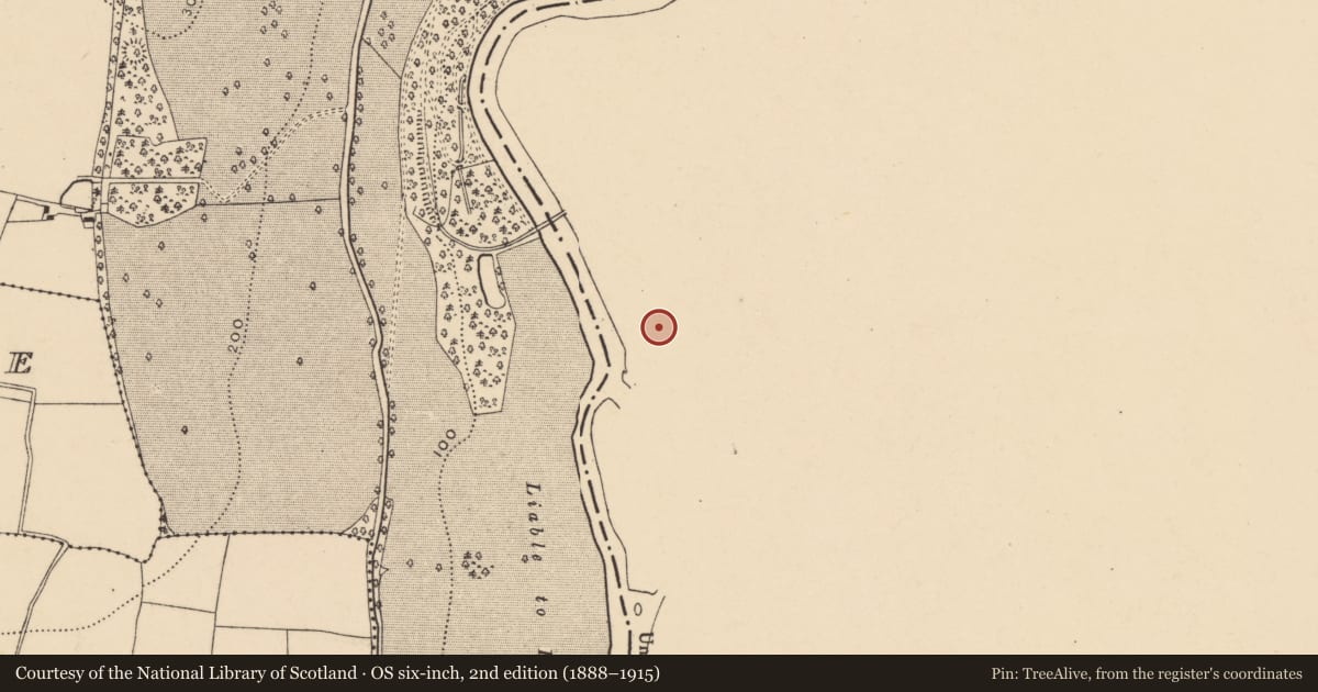
Slide toward Today to fade the historical sheet and see the modern map underneath.
David Rumsey Map Collection, Stanford LibrariesDavid Rumsey Map Collection, Stanford LibrariesDavid Rumsey Map Collection, Stanford LibrariesDavid Rumsey Map Collection, Stanford Libraries
4 historical maps cover this location, the earliest the 1790 map "Composite: Ireland." (David Rumsey Map Collection, Stanford Libraries).
Historical maps covering this location
- 1790 · Composite: Ireland. (David Rumsey Map Collection, Stanford Libraries)
- 1882 · Ireland (southern half). (David Rumsey Map Collection, Stanford Libraries)
- 1891 · Ireland 16 (David Rumsey Map Collection, Stanford Libraries)
- 1904 · Sheet 13. (David Rumsey Map Collection, Stanford Libraries)
This record in the National Monuments Service's Historic Environment Viewer ↗
The National Monuments Service's description
Situated on a bluff overlooking the S-N River Suir to the W. There are no early historical references to this site, but it was owned by Patrick Geogh in 1640 (Simington 1942, 90). Part of the E and S walls of a four-storey structure survive with a projecting circular tower at the SE angle and a rectangular tower at the NE angle. Windows with square hood-mouldings indicate a late date. A wall extending N from the tower house (L 20m) may be part of the bawn. The N and W sides of the bawn are obscured by a late Georgian house (Bence-Jones 1978, 74) which altered the plan of the tower house by destroying its W and N walls. A traditional church site (WA001-015----) is adjacent to the N.
Simington, R. C. (ed.) (1942) The Civil Survey AD 1654-1656, vi, the County of Waterford. Irish Manuscripts Commission. Dublin.
The above description is derived from the published 'Archaeological Inventory of County Waterford' (Dublin: Stationery Office, 1999). In certain instances the entries have been revised and updated in the light of recent research.
Date of upload/revision: 23 December 2008
Nearby in the register
Other entries of the same register within about three miles of this one, by straight line.