Sites and Monuments Record · Ireland
Graveslab
Inishlounaght, County Tipperary South, Ireland
The record
- Townland
- Inishlounaght
- County
- Tipperary South
- Country
- Ireland
- First-edition OS map
- Not indicated
- Latest-edition OS map
- Not indicated
- Coordinates
- 52.34511, -7.74237
- SMR number
- TS083-017005-
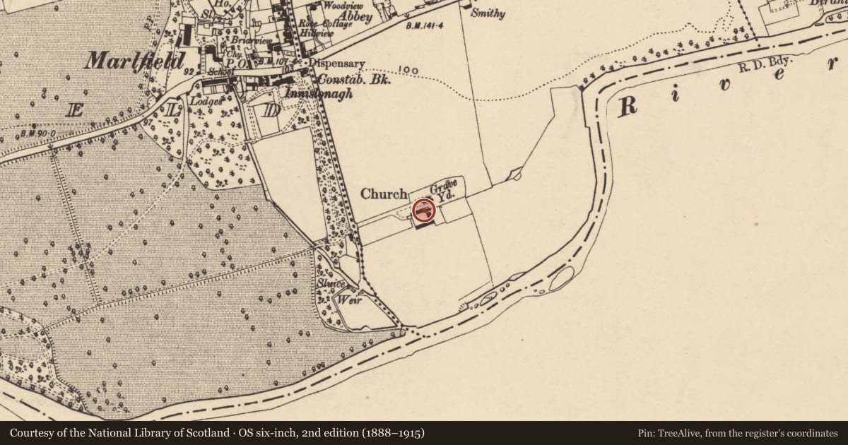
Slide toward Today to fade the historical sheet and see the modern map underneath.
David Rumsey Map Collection, Stanford LibrariesDavid Rumsey Map Collection, Stanford LibrariesDavid Rumsey Map Collection, Stanford LibrariesDavid Rumsey Map Collection, Stanford Libraries
4 historical maps cover this location, the earliest the 1790 map "Composite: Ireland." (David Rumsey Map Collection, Stanford Libraries).
Historical maps covering this location
- 1790 · Composite: Ireland. (David Rumsey Map Collection, Stanford Libraries)
- 1882 · Ireland (southern half). (David Rumsey Map Collection, Stanford Libraries)
- 1891 · Ireland 16 (David Rumsey Map Collection, Stanford Libraries)
- 1904 · Sheet 13. (David Rumsey Map Collection, Stanford Libraries)
This record in the National Monuments Service's Historic Environment Viewer ↗
The National Monuments Service's description
Incorporated in the graveyard wall S of the church which is built on the site of the former Cistercian abbey (TS083-017----) is a 16th- /early 17th-century tapering graveslab (L 1.9m; Wth at the top 0.49m; Wth at base 0.4m at the base; though it is 0.57m at its widest point). The slab is decorated, in relief, with a seven-armed segmental-headed cross with fleur-de-lis terminals. There is a three-barred knop at the base of the cross-head. The cross-shaft rests on a stepped base. There is a latin inscription, in Black Letter script, on the sinister side of the slab which begins beneath the cross-head. The HIC is in relief but the rest is incised. The inscription is quite worn, it has been transcribed and translated by Maher (1997, 66-67) as: HIC IACET PIUS V(I)(R) D(U?)S L/IBA..ER.... (Here lies Pius, noble husband?).
Compiled by: Jean Farrelly
Date of revised upload: 24 January 2012
References
Maher, D. 1997 Medieval grave-slabs of County Tipperary, 1200-1600 A.D. BAR British Series 262.
Nearby in the register
- Graveslabunder 1 mi
- Architectural featureunder 1 mi
- Architectural featureunder 1 mi
- Graveslabunder 1 mi
Other entries of the same register within about three miles of this one, by straight line.