Sites and Monuments Record · Ireland
Architectural fragment
Patrickswell (Inishlounaght Par.), County Tipperary South, Ireland
The record
- Townland
- Patrickswell (Inishlounaght Par.)
- County
- Tipperary South
- Country
- Ireland
- First-edition OS map
- Not indicated
- Latest-edition OS map
- Not indicated
- Coordinates
- 52.35744, -7.75227
- SMR number
- TS083-004015-
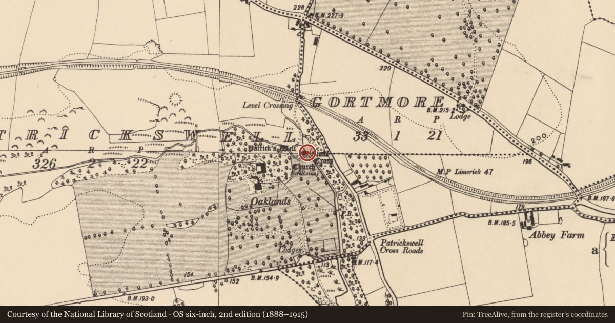
Slide toward Today to fade the historical sheet and see the modern map underneath.
David Rumsey Map Collection, Stanford LibrariesDavid Rumsey Map Collection, Stanford LibrariesDavid Rumsey Map Collection, Stanford LibrariesDavid Rumsey Map Collection, Stanford Libraries
4 historical maps cover this location, the earliest the 1790 map "Composite: Ireland." (David Rumsey Map Collection, Stanford Libraries).
Historical maps covering this location
- 1790 · Composite: Ireland. (David Rumsey Map Collection, Stanford Libraries)
- 1882 · Ireland (southern half). (David Rumsey Map Collection, Stanford Libraries)
- 1891 · Ireland 16 (David Rumsey Map Collection, Stanford Libraries)
- 1904 · Sheet 13. (David Rumsey Map Collection, Stanford Libraries)
This record in the National Monuments Service's Historic Environment Viewer ↗
The National Monuments Service's description
Incorporated in the footbridge over the pond outlet are three round-headed arches carved into the one stone (dims. L 2.39m x H 0.45m). The arches (Wth 0.51- 0.52m; H 0.18m) have hollow mouldings on either side (D 0.15m). It is possibly from the 17th-century White wall tomb which was originally located in the White mortuary chapel at St. Mary's church (TS083-019001-) Clonmel. When the chapel was dismantled, early in the 19th century, the tomb was brought to the church (TS083-004001-) at St. Patrick's Well. In 1967-9 works were carried out at the church and well and the three arches, which had been initially been positioned at the E gable of the church interior, illustrated in a sketch in Burke's History of Clonmel (1907), where moved to the outlet of the newly created pool (Shee and Watson 1975, 52-3).
Compiled by: Jean Farrelly
Date of upload: 26 August 2011
References
Burke, Rev. W. P. 1907 History of Clonmel. The Clonmel Library Committee.
Shee, E. and Watson, S. J. 1975 Clonmel: an architectural guide. Dublin. An Taisce.
Nearby in the register
- Wall monument (present location)under 1 mi
- Architectural fragmentunder 1 mi
- Architectural fragmentunder 1 mi
- Architectural fragmentunder 1 mi
Other entries of the same register within about three miles of this one, by straight line.