Sites and Monuments Record · Ireland
Ringfort - rath
Loughtally, County Tipperary South, Ireland
The record
- Townland
- Loughtally
- County
- Tipperary South
- Country
- Ireland
- First-edition OS map
- Hachured
- Latest-edition OS map
- Hachured
- Coordinates
- 52.35271, -7.77958
- SMR number
- TS082-051----
Slide toward Today to fade the historical sheet and see the modern map underneath.
David Rumsey Map Collection, Stanford LibrariesDavid Rumsey Map Collection, Stanford LibrariesDavid Rumsey Map Collection, Stanford LibrariesDavid Rumsey Map Collection, Stanford Libraries
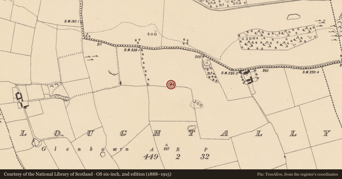
4 historical maps cover this location, the earliest the 1790 map "Composite: Ireland." (David Rumsey Map Collection, Stanford Libraries).
Historical maps covering this location
- 1790 · Composite: Ireland. (David Rumsey Map Collection, Stanford Libraries)
- 1882 · Ireland (southern half). (David Rumsey Map Collection, Stanford Libraries)
- 1891 · Ireland 16 (David Rumsey Map Collection, Stanford Libraries)
- 1904 · Sheet 13. (David Rumsey Map Collection, Stanford Libraries)
This record in the National Monuments Service's Historic Environment Viewer ↗
The National Monuments Service's description
Just off the crest of a ridge on a N-facing slope, in pastureland. Beyond the N edge of the monument the ground slopes more steeply. Extensive views, with Nicholastown tower house (TS082-043001-) visible c. 3.2km to the E. Well-preserved oval ringfort (diam. 29m N-S; 33.5m E-W) defined by an earthen and stone bank (Wth 1.8m crest, 4.9m base; int. H 1m; ext. H 1.6m). Relatively clean monument, with some scrub on the bank in the S quadrant. Large, mature horse-chestnut growing in the centre of the interior. A field bank, surmounted by hedgerow, runs concentrically with the S quadrant at a distance of 3.7m from the outer bank of the ringfort. In the E quadrant a portion of the interior, running up to the internal face of the bank, has been dug into creating a rectangular depression (6m x 3m; 0.8m D) running E-W. There is a possible entrance in the W quadrant (Wth 1.7m). The bank in the NW sector has been quarried out for a length of 7m. In the NE quadrant a small external quarry runs into the bank which has been removed for a length of c. 8m.
Compiled by: Jean Farrelly
Date of upload: 04 February 2014
Nearby in the register
Other entries of the same register within about three miles of this one, by straight line.