Sites and Monuments Record · Ireland
Armorial plaque
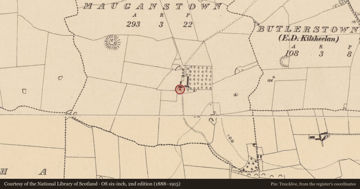
Mauganstown, County Tipperary South, Ireland
The record
- Townland
- Mauganstown
- County
- Tipperary South
- Country
- Ireland
- First-edition OS map
- Not indicated
- Latest-edition OS map
- Not indicated
- Coordinates
- 52.37224, -7.52368
- SMR number
- TS078-051001-
Slide toward Today to fade the historical sheet and see the modern map underneath.
David Rumsey Map Collection, Stanford LibrariesDavid Rumsey Map Collection, Stanford LibrariesDavid Rumsey Map Collection, Stanford LibrariesDavid Rumsey Map Collection, Stanford Libraries
4 historical maps cover this location, the earliest the 1790 map "Composite: Ireland." (David Rumsey Map Collection, Stanford Libraries).
Historical maps covering this location
- 1790 · Composite: Ireland. (David Rumsey Map Collection, Stanford Libraries)
- 1882 · Ireland (southern half). (David Rumsey Map Collection, Stanford Libraries)
- 1891 · Ireland 16 (David Rumsey Map Collection, Stanford Libraries)
- 1904 · Sheet 13. (David Rumsey Map Collection, Stanford Libraries)
This record in the National Monuments Service's Historic Environment Viewer ↗
The National Monuments Service's description
On the front S façade of Mauganstown House (TS078-051----). According to the Civil Survey (1654-6) in 1640 'Sr. Richard Butler of Knocktofer in the County of Killkenny Knight Irish Papist' had in 'Mageonstowne' 'a stone house as yet not fully finished, the walls onely standing built by Sr. Rich : Butler little before ye. Rebellion' (Simington 1931, vol. 1, 277). The Down Survey also depicts a house in approxiamately the same location as the present house in Mauganstown. Centrally placed between first and second-floor level there is an armorial plaque bearing the inscription 'Sir Richard Butler his arms 1643', his coat of arms is displayed and directly beneath it are the initials R.B. on the sinister side and E.L. on the dexter side and a banner with 'DVM SPIRO SPERO'.
See attached photograph:
TS078-051001-_01
Compiled by: Jean Farrelly
Date of upload: 26 August 2011
References
Simington, R.C. (ed.) 1931 The Civil survey, AD 1654-1656. Vol I: county of Tipperary: eastern and southern baronies. Dublin. Irish Manuscripts Commission.
Nearby in the register
- House - 17th centuryunder 1 mi
- Ringfort - rathunder 1 mi
- Ringfort - rathunder 1 mi
- House - 17th centuryunder 1 mi
Other entries of the same register within about three miles of this one, by straight line.