Sites and Monuments Record · Ireland
Cross-slab
Toureen, County Tipperary South, Ireland
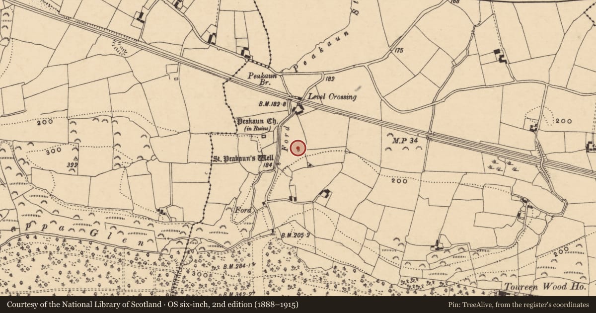
The record
- Townland
- Toureen
- County
- Tipperary South
- Country
- Ireland
- First-edition OS map
- Not indicated
- Latest-edition OS map
- Not indicated
- Coordinates
- 52.40845, -7.99161
- SMR number
- TS075-023043-
Slide toward Today to fade the historical sheet and see the modern map underneath.
David Rumsey Map Collection, Stanford LibrariesDavid Rumsey Map Collection, Stanford LibrariesDavid Rumsey Map Collection, Stanford LibrariesDavid Rumsey Map Collection, Stanford Libraries
4 historical maps cover this location, the earliest the 1790 map "Composite: Ireland." (David Rumsey Map Collection, Stanford Libraries).
Historical maps covering this location
- 1790 · Composite: Ireland. (David Rumsey Map Collection, Stanford Libraries)
- 1882 · Ireland (southern half). (David Rumsey Map Collection, Stanford Libraries)
- 1891 · Ireland 16 (David Rumsey Map Collection, Stanford Libraries)
- 1904 · Sheet 13. (David Rumsey Map Collection, Stanford Libraries)
This record in the National Monuments Service's Historic Environment Viewer ↗
The National Monuments Service's description
At a small enclosure (TS075-023006-) known as the 'cell' stone c. 100m SE of Toureen Peacaun church (TS075-023001-), where the stone has been built into the top of the wall on the W side. Early in the 20th century the slab was lying loose at the cell (FitzGerald 1904, 150-51). It is described by Okasha and Forsyth (2001, 279-80) as a small slab (H c. 0.43m visible; Wth c. 0.24m; T c. 0.09m) and is 'a part of a slab of unknown form which is now set on to the wall on its side. The back of the stone is plain. Incised on the face of the stone is an outline equal-armed cross with a horizontal line of text above'. It is listed as Toureen Peacaun 34 (ibid.).
Compiled by: Jean Farrelly
Date of upload: 26 August 2011
References
FitzGerald, Lord W. 1904-6 County Tipperary: Toureen, St. Peakaun's church ruins, parish of Killardry. Journal of the Association for the Preservation of the Memorials of the Dead in Ireland 6, 150-51.
Okasha, E. and Forsyth, K. 2001 Early Christian inscriptions of Munster: a corpus of the inscribed stones. Cork University Press.
Nearby in the register
- Bullaun stoneunder 1 mi
- Architectural fragmentunder 1 mi
- Bullaun stoneunder 1 mi
- Ritual site - holy wellunder 1 mi
Other entries of the same register within about three miles of this one, by straight line.