Sites and Monuments Record · Ireland
Cross-slab
Ardane, County Tipperary South, Ireland
The record
- Townland
- Ardane
- County
- Tipperary South
- Country
- Ireland
- First-edition OS map
- Not indicated
- Latest-edition OS map
- Not indicated
- Coordinates
- 52.41013, -8.07731
- SMR number
- TS074-010019-
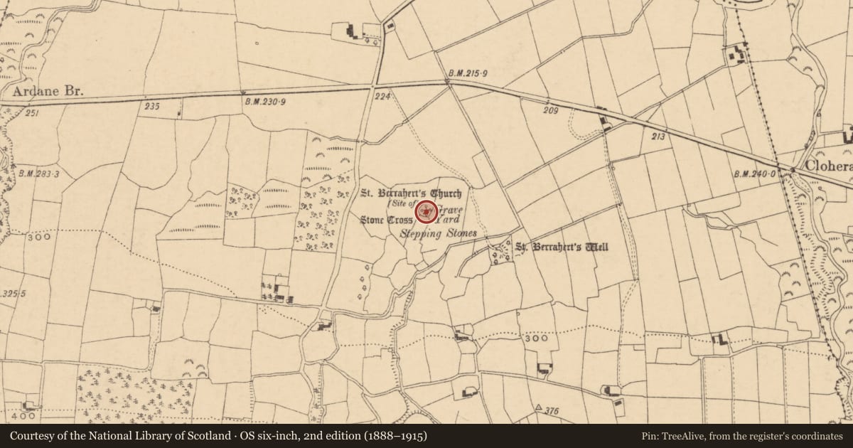
Slide toward Today to fade the historical sheet and see the modern map underneath.
David Rumsey Map Collection, Stanford LibrariesDavid Rumsey Map Collection, Stanford LibrariesDavid Rumsey Map Collection, Stanford LibrariesDavid Rumsey Map Collection, Stanford Libraries
4 historical maps cover this location, the earliest the 1790 map "Composite: Ireland." (David Rumsey Map Collection, Stanford Libraries).
Historical maps covering this location
- 1790 · Composite: Ireland. (David Rumsey Map Collection, Stanford Libraries)
- 1882 · Ireland (southern half). (David Rumsey Map Collection, Stanford Libraries)
- 1891 · Ireland 16 (David Rumsey Map Collection, Stanford Libraries)
- 1904 · Sheet 13. (David Rumsey Map Collection, Stanford Libraries)
This record in the National Monuments Service's Historic Environment Viewer ↗
The National Monuments Service's description
In the S sector of an ecclesiastical enclosure (TS074-010----) known as St. Berrihert's Kyle and incorporated in an oval stone enclosure, stepped internally, built by the OPW in 1946 (Ó hÉailidhe 1967, 102). This slab is located in the E sector, on top of the wall. It is described by Ó hÉailidhe (1967, 110) as slab 13A/13B, composed of red sandstone (dims 0.3m x 0.23m; T 0.05m). 'Latin cross in very low relief with squared hollows in the angles. Reverse of 13A. Latin cross in low relief (6mm) with double squared hollows in the angles' (ibid.).
Compiled by: Jean Farrelly
Date of upload: 26 August 2011
References
Ó hÉailidhe, P. 1967 The crosses and slabs at St. Berrihert's Kyle in the Glen of Aherlow. In E. Rynne (ed.), North Munster Studies, 102-126. Limerick. The Thomond Archaeology Society.
Nearby in the register
- Cross - High crossunder 1 mi
- Crossunder 1 mi
- Crossunder 1 mi
- Inscribed slabunder 1 mi
Other entries of the same register within about three miles of this one, by straight line.