Sites and Monuments Record · Ireland
Graveyard
Templenoe (Killeenasteena Par.), County Tipperary South, Ireland
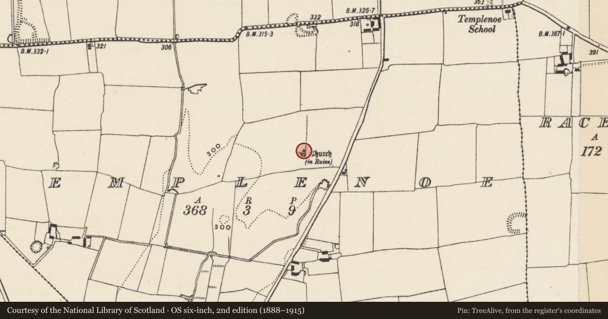
The record
- Townland
- Templenoe (Killeenasteena Par.)
- County
- Tipperary South
- Country
- Ireland
- First-edition OS map
- Not indicated
- Latest-edition OS map
- Not indicated
- Coordinates
- 52.47629, -7.91084
- SMR number
- TS068-030001-
Slide toward Today to fade the historical sheet and see the modern map underneath.
David Rumsey Map Collection, Stanford LibrariesDavid Rumsey Map Collection, Stanford LibrariesDavid Rumsey Map Collection, Stanford LibrariesDavid Rumsey Map Collection, Stanford Libraries
4 historical maps cover this location, the earliest the 1790 map "Composite: Ireland." (David Rumsey Map Collection, Stanford Libraries).
Historical maps covering this location
- 1790 · Composite: Ireland. (David Rumsey Map Collection, Stanford Libraries)
- 1882 · Ireland (southern half). (David Rumsey Map Collection, Stanford Libraries)
- 1891 · Ireland 16 (David Rumsey Map Collection, Stanford Libraries)
- 1904 · Sheet 13. (David Rumsey Map Collection, Stanford Libraries)
This record in the National Monuments Service's Historic Environment Viewer ↗
The National Monuments Service's description
On a N-S ridge in undulating terrain. A circular enclosure (diam. c. 45m) visible as a cropmark on satellite imagery (2021 Maxar Technologies, viewed May 2021), identified and reported by Jean-Charles Caillère, incorporates a medieval church (TS068-030----) in the SW quadrant. According to the OS Letters (O'Flanagan 1930, vol. 1, 83) c. 1840, 'Its graveyard is now a potatoe garden'. This circular enclosure, defined by a fosse, may be the associated graveyard. Also visible on the satellite imagery is a possible larger outer curvilinear enclosure (TS068-030002-) which may be an ecclesiastical enclosure.
See attached photograph:
TS068-030001-_01 Satellite image (2021 Maxar Technologies, viewed May 2021)
Compiled by: Jean Farrelly
Date of upload: 5 July 2021
References
O'Flanagan, Rev. M. (Compiler) 1930 Letters containing information relative to the antiquities of the county of Tipperary collected during the progress of the Ordnance Survey in 1840. Bray.
Nearby in the register
- Churchunder 1 mi
- Ecclesiastical enclosureunder 1 mi
- Ringfort - rathunder 1 mi
- Ringfort - rathunder 1 mi
Other entries of the same register within about three miles of this one, by straight line.