Sites and Monuments Record · Ireland
Architectural fragment
Boscabell, County Tipperary South, Ireland
The record
- Townland
- Boscabell
- County
- Tipperary South
- Country
- Ireland
- First-edition OS map
- Not indicated
- Latest-edition OS map
- Not indicated
- Coordinates
- 52.52212, -7.86125
- SMR number
- TS061-181----
Slide toward Today to fade the historical sheet and see the modern map underneath.
David Rumsey Map Collection, Stanford LibrariesDavid Rumsey Map Collection, Stanford LibrariesDavid Rumsey Map Collection, Stanford LibrariesDavid Rumsey Map Collection, Stanford Libraries
4 historical maps cover this location, the earliest the 1790 map "Composite: Ireland." (David Rumsey Map Collection, Stanford Libraries).
Historical maps covering this location
- 1790 · Composite: Ireland. (David Rumsey Map Collection, Stanford Libraries)
- 1882 · Ireland (southern half). (David Rumsey Map Collection, Stanford Libraries)
- 1891 · Ireland 16 (David Rumsey Map Collection, Stanford Libraries)
- 1904 · Sheet 13. (David Rumsey Map Collection, Stanford Libraries)
This record in the National Monuments Service's Historic Environment Viewer ↗
The National Monuments Service's description
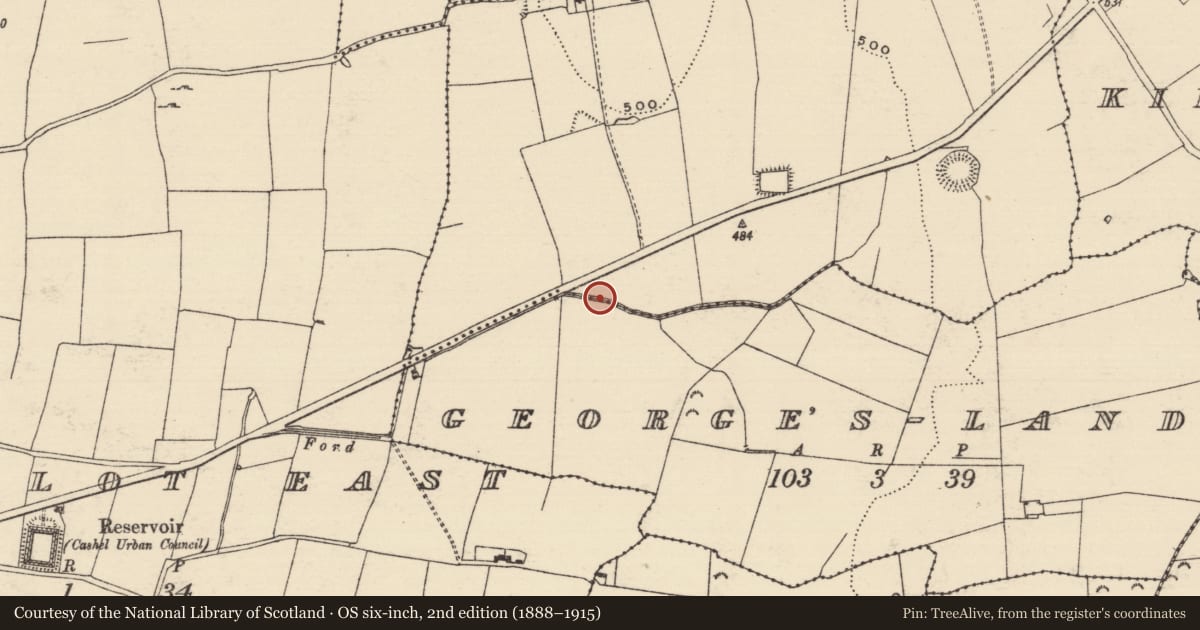
One of two limestone fragments (TS061-180----) which had been incorporated in a limestone rubble wall on the N side of the Cashel - Dualla road, SE of Cashel Community school. It is probable that these fragments originally came from the Franciscan friary (TS061-025008-) in Cashel, located c. 400m SW of this wall. The fragment (L 0.48m; Wth 0.16m; T 0.16m) was part of a door surround and has a chamfered edge (Wth 0.08m). It is currently located in a garden 1.7km NE of the friary.
Compiled by: Jean Farrelly
Date of upload: 5 March 2013
Nearby in the register
- Architectural fragmentunder 1 mi
- Architectural featureunder 1 mi
- Burnt pitunder 1 mi
- Habitation siteunder 1 mi
Other entries of the same register within about three miles of this one, by straight line.