Sites and Monuments Record · Ireland
Tomb - effigial
St. Patricksrock, County Tipperary South, Ireland
The record
- Townland
- St. Patricksrock
- County
- Tipperary South
- Country
- Ireland
- First-edition OS map
- Not indicated
- Latest-edition OS map
- Not indicated
- Coordinates
- 52.51973, -7.89046
- SMR number
- TS061-025147-
Slide toward Today to fade the historical sheet and see the modern map underneath.
David Rumsey Map Collection, Stanford LibrariesDavid Rumsey Map Collection, Stanford LibrariesDavid Rumsey Map Collection, Stanford LibrariesDavid Rumsey Map Collection, Stanford Libraries
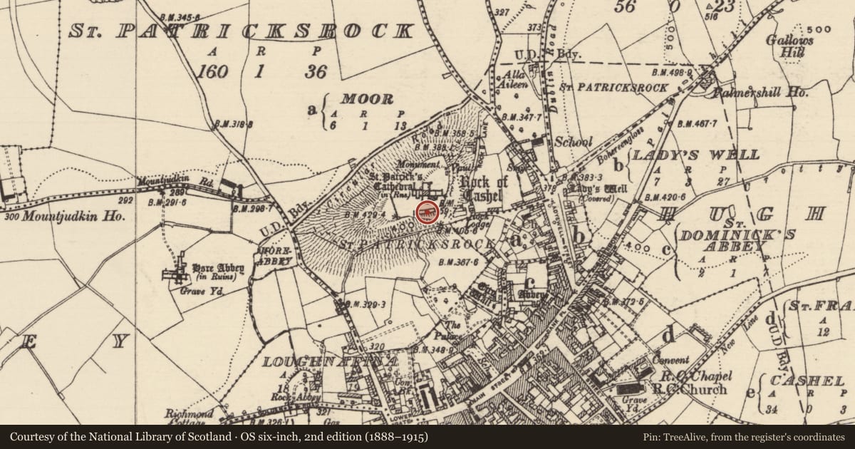
4 historical maps cover this location, the earliest the 1790 map "Composite: Ireland." (David Rumsey Map Collection, Stanford Libraries).
Historical maps covering this location
- 1790 · Composite: Ireland. (David Rumsey Map Collection, Stanford Libraries)
- 1882 · Ireland (southern half). (David Rumsey Map Collection, Stanford Libraries)
- 1891 · Ireland 16 (David Rumsey Map Collection, Stanford Libraries)
- 1904 · Sheet 13. (David Rumsey Map Collection, Stanford Libraries)
This record in the National Monuments Service's Historic Environment Viewer ↗
The National Monuments Service's description
In storage within the Vicor's Choral (TS061-025005-) on the Rock of Cashel and formerly located in the cathedral (TS061-025003-). Only three fragments of this effigy of an archbishop survive. They are described by Hunt (1974, vol. 1, 222-23) and comprise a portion of the head (dims. 0.3m x 0.24m) wearing a mitre; the central part of the chest (dims. 0.48m x 0.33m) sporting a full chasuble with a pallium over the shoulders, the left hand held a crozier, only fragments of which remains, with a decorative knop, while the right hand is gloved and raised in blessing; the third fragment (dims. 0.43m x 0.4m) is the lower part of the chasuble.
Compiled by: Jean Farrelly
Date of revised upload: 20 November 2015
Nearby in the register
- Cross - High crossunder 1 mi
- Graveslab (present location)under 1 mi
- Tomb - effigial (present location)under 1 mi
- Collegeunder 1 mi
Other entries of the same register within about three miles of this one, by straight line.