Sites and Monuments Record · Ireland
Graveslab
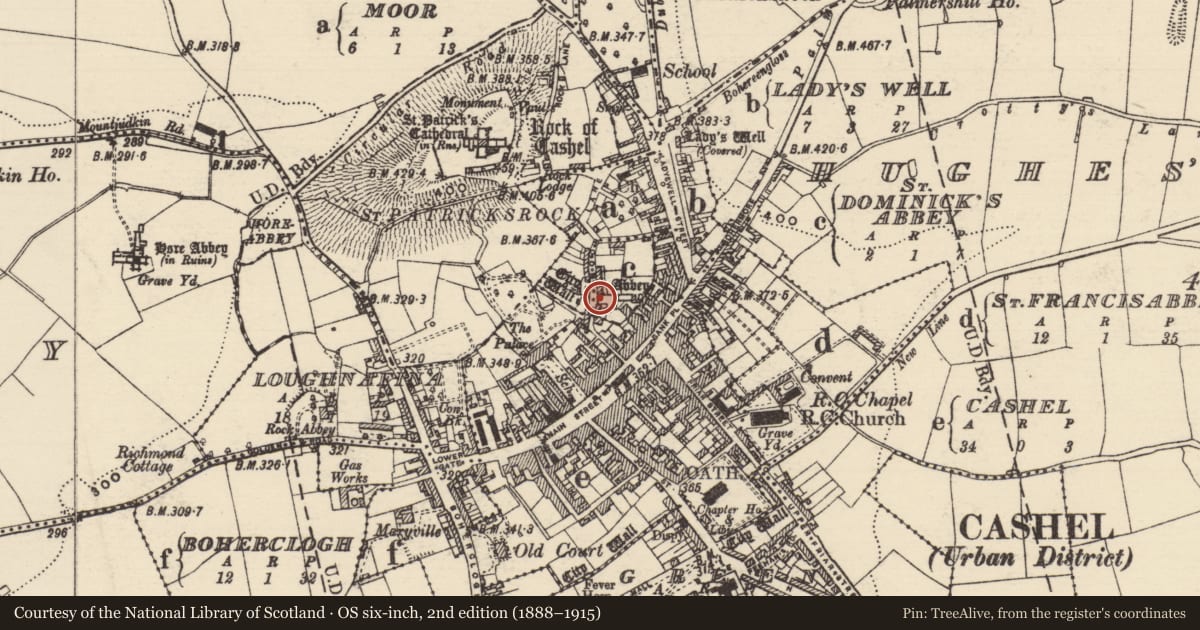
St. Dominicks Abbey, County Tipperary South, Ireland
The record
- Townland
- St. Dominicks Abbey
- County
- Tipperary South
- Country
- Ireland
- First-edition OS map
- Not indicated
- Latest-edition OS map
- Not indicated
- Coordinates
- 52.51806, -7.88798
- SMR number
- TS061-025066-
Slide toward Today to fade the historical sheet and see the modern map underneath.
David Rumsey Map Collection, Stanford LibrariesDavid Rumsey Map Collection, Stanford LibrariesDavid Rumsey Map Collection, Stanford LibrariesDavid Rumsey Map Collection, Stanford Libraries
4 historical maps cover this location, the earliest the 1790 map "Composite: Ireland." (David Rumsey Map Collection, Stanford Libraries).
Historical maps covering this location
- 1790 · Composite: Ireland. (David Rumsey Map Collection, Stanford Libraries)
- 1882 · Ireland (southern half). (David Rumsey Map Collection, Stanford Libraries)
- 1891 · Ireland 16 (David Rumsey Map Collection, Stanford Libraries)
- 1904 · Sheet 13. (David Rumsey Map Collection, Stanford Libraries)
This record in the National Monuments Service's Historic Environment Viewer ↗
The National Monuments Service's description
Lying prostrate in the nave of St. Dominick's Abbey (TS061-025007-), close to the N wall. This tapering limestone slab (L 2.065m; Wth at top 0.59m; Wth at base 0.35m (including missing lower sinister corner; surviving Wth 0.27m); T 0.13m visible above ground) has a crack across the middle and the lower portion is broken into several pieces. It is decorated with incised lines. At the head of the slab there is evidence of a large outer double ringed circle within which is a four-armed cross with double incised trefoil terminals. Below this there is a circular knop from which the shaft, consisting of two parallel lines, extends to a trefoil base outlined by a double incised line. Maher (1997, 68) describes addition decoration 'on the sinister side of the cross-shaft is an incised herring-bone pattern. Traces of a matching design survive on its dexter side, separated from it by an outline stem with a circular expansion near its top. Linked to this are a number of incised lines'.
Compiled by: Jean Farrelly
Date of upload: 26 August 2011
References
Maher, D. 1997 Medieval grave-slabs of County Tipperary, 1200-1600 A.D. BAR British Series 262.
Nearby in the register
- Graveslabunder 1 mi
- Graveslabunder 1 mi
- Graveslabunder 1 mi
- Sarcophagusunder 1 mi
Other entries of the same register within about three miles of this one, by straight line.