Sites and Monuments Record · Ireland
Excavation - miscellaneous
Cashel, County Tipperary South, Ireland
The record
- Townland
- Cashel
- County
- Tipperary South
- Country
- Ireland
- First-edition OS map
- Not indicated
- Latest-edition OS map
- Not indicated
- Coordinates
- 52.51788, -7.88709
- SMR number
- TS061-025056-
Slide toward Today to fade the historical sheet and see the modern map underneath.
David Rumsey Map Collection, Stanford LibrariesDavid Rumsey Map Collection, Stanford LibrariesDavid Rumsey Map Collection, Stanford LibrariesDavid Rumsey Map Collection, Stanford Libraries
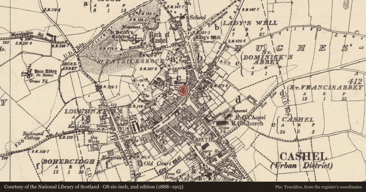
4 historical maps cover this location, the earliest the 1790 map "Composite: Ireland." (David Rumsey Map Collection, Stanford Libraries).
Historical maps covering this location
- 1790 · Composite: Ireland. (David Rumsey Map Collection, Stanford Libraries)
- 1882 · Ireland (southern half). (David Rumsey Map Collection, Stanford Libraries)
- 1891 · Ireland 16 (David Rumsey Map Collection, Stanford Libraries)
- 1904 · Sheet 13. (David Rumsey Map Collection, Stanford Libraries)
This record in the National Monuments Service's Historic Environment Viewer ↗
The National Monuments Service's description
Two pits, one cutting into the other, were revealed during an archaeological excavation at Bank Place in 2001 (Hurley and O'Donnell 2001, unpublished report). One large sub-circular pit (dims. 2.66m N-S; 2.58m E-W; D 2.25m), filled with mostly organic material and some clay, was partially excavated (ibid.). Finds included pottery of mid 13th to mid 14th century date. This pit was cut by another sub-circular pit (D 0.92m) filled with ash, organic material and charcoal, which was only partially excavated (ibid.). It was interpreted as a general dumping area, perhaps close to some domestic buildings or an industrial site (ibid.).
Compiled by: Jean Farrelly
Date of upload: 05 August 2014
References
Hurley, Maurice F. and O'Donnell, Mary G. 2001 Development at Bank Place, Cashel, Co. Tipperary: Testing & monitoring. Unpublished archaeological excavation report, National Monuments Service, Department of Arts, Heritage and the Gaeltacht, Dublin.
Nearby in the register
- Excavation - miscellaneousunder 1 mi
- Buildingunder 1 mi
- Wellunder 1 mi
- Burialunder 1 mi
Other entries of the same register within about three miles of this one, by straight line.