Sites and Monuments Record · Ireland
Well
Garranacanty, County Tipperary South, Ireland
The record
- Townland
- Garranacanty
- County
- Tipperary South
- Country
- Ireland
- First-edition OS map
- Indicated
- Latest-edition OS map
- Not indicated
- Coordinates
- 52.48745, -8.12434
- SMR number
- TS059-132----
Slide toward Today to fade the historical sheet and see the modern map underneath.
David Rumsey Map Collection, Stanford LibrariesDavid Rumsey Map Collection, Stanford LibrariesDavid Rumsey Map Collection, Stanford LibrariesDavid Rumsey Map Collection, Stanford Libraries
4 historical maps cover this location, the earliest the 1790 map "Composite: Ireland." (David Rumsey Map Collection, Stanford Libraries).
Historical maps covering this location
- 1790 · Composite: Ireland. (David Rumsey Map Collection, Stanford Libraries)
- 1882 · Ireland (southern half). (David Rumsey Map Collection, Stanford Libraries)
- 1891 · Ireland 16 (David Rumsey Map Collection, Stanford Libraries)
- 1904 · Sheet 13. (David Rumsey Map Collection, Stanford Libraries)
This record in the National Monuments Service's Historic Environment Viewer ↗
The National Monuments Service's description
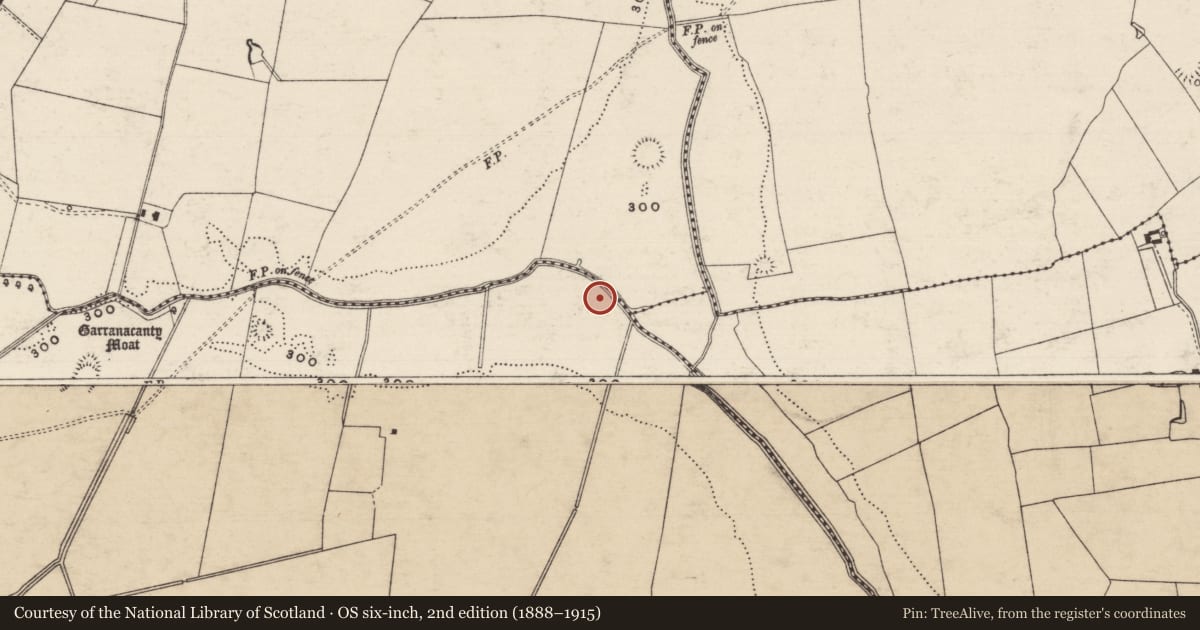
A well is mentioned in a description of 'The United Parishes of Tamplenoe and Duneigore' in the Civil Survey 1654-56 as being 'by the sd brooke running betwixt the halfe colpe of Ballyhosty in this parish and the sixth pt colpe of Garrankanty afforesd to a well called Tobburkissane on pt of the lands of Garrankanty afforesd and from that well to a hill called Knockiteane along by a ditch meareing the same & this parish' (Simington 1934, vol. 2, 41). On the 1st (1840) ed. OS 6-inch map there is a well at the NW of Garranacanty townland, on the border with Friarsfield and Drumclieve townlands which may be this well. It is not depicted on the subsequent (1904) edition. The OSi Ortho aerial photograph (2005) indicates that the area of well has been planted with forestry.
Compiled by: Jean Farrelly
Date of upload: 26 August 2011
References
Simington, R.C. (ed.) 1934 The Civil survey, AD 1654-1656. Vol. II: county of Tipperary - Western and Northern baronies. Dublin. Irish Manuscripts Commission.
Nearby in the register
- Barrow - embanked barrowunder 1 mi
- Burial groundunder 1 mi
- Barrow - ditch barrowunder 1 mi
- Enclosureunder 1 mi
Other entries of the same register within about three miles of this one, by straight line.