Sites and Monuments Record · Ireland
Moated site
Cloghaready, County Tipperary South, Ireland
The record
- Townland
- Cloghaready
- County
- Tipperary South
- Country
- Ireland
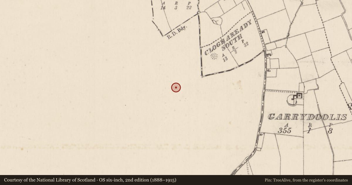
- First-edition OS map
- Partially hachured
- Latest-edition OS map
- Indicated
- Coordinates
- 52.49664, -8.33729
- SMR number
- TS057-019001-
Slide toward Today to fade the historical sheet and see the modern map underneath.
David Rumsey Map Collection, Stanford LibrariesDavid Rumsey Map Collection, Stanford LibrariesDavid Rumsey Map Collection, Stanford LibrariesDavid Rumsey Map Collection, Stanford Libraries
4 historical maps cover this location, the earliest the 1790 map "Composite: Ireland." (David Rumsey Map Collection, Stanford Libraries).
Historical maps covering this location
- 1790 · Composite: Ireland. (David Rumsey Map Collection, Stanford Libraries)
- 1882 · Ireland (southern half). (David Rumsey Map Collection, Stanford Libraries)
- 1891 · Ireland 16 (David Rumsey Map Collection, Stanford Libraries)
- 1904 · Sheet 13. (David Rumsey Map Collection, Stanford Libraries)
This record in the National Monuments Service's Historic Environment Viewer ↗
The National Monuments Service's description
In gently undulating rough pasture at the SW side of a small complex of earthworks consisting of moated site (TS057-019002-), trackway (TS057-019003-) and another moated site (TS057-019004-). Slightly raised rectangular area (dims. 36m NW-SE; 32m NE-SW) enclosed by an low flat-topped earthen bank (int. H 0.3m; ext. H 1.1m; Wth at top 2.2m; overall Wth 5.9m) with an intermediate broad-bottomed fosse (Wth at base 2.2m) and a low flat-topped external earthen bank (int. H 0.8m; ext. H 0.3m; Wth at top 1.4m; overall Wth 4.7m). The internal bank, fosse and external bank are absent ENE-SSE along the SE side where the moated site is defined by a modern NE-SW orientated drainage ditch. From ESE-W the internal bank has been incorporated into a NW-SE orientated field bank and the external bank is absent. A break (Wth 3.5m) in the internal bank, with a slight causeway across the fosse, and a corresponding break (Wth 6m) in the external bank at toward the NW end of the NE side mark the position of the original entrance. The trackway mentioned above runs NE-SW and begins 8m to the NE of the entrance. Interior is level and clear of overgrowth.
Compiled by: Jean Farrelly
Date of upload: 26 August 2011
Nearby in the register
- Road - road/trackwayunder 1 mi
- Moated siteunder 1 mi
- Moated siteunder 1 mi
- Earthworkunder 1 mi
Other entries of the same register within about three miles of this one, by straight line.