Sites and Monuments Record · Ireland
Enclosure
Shangarry, County Tipperary South, Ireland
The record
- Townland
- Shangarry
- County
- Tipperary South
- Country
- Ireland
- First-edition OS map
- Not indicated
- Latest-edition OS map
- Hachured
- Coordinates
- 52.56552, -7.55321
- SMR number
- TS055-046001-
Slide toward Today to fade the historical sheet and see the modern map underneath.
David Rumsey Map Collection, Stanford LibrariesDavid Rumsey Map Collection, Stanford LibrariesDavid Rumsey Map Collection, Stanford LibrariesDavid Rumsey Map Collection, Stanford Libraries
4 historical maps cover this location, the earliest the 1790 map "Composite: Ireland." (David Rumsey Map Collection, Stanford Libraries).
Historical maps covering this location
- 1790 · Composite: Ireland. (David Rumsey Map Collection, Stanford Libraries)
- 1869 · Ireland. (David Rumsey Map Collection, Stanford Libraries)
- 1891 · Ireland 16 (David Rumsey Map Collection, Stanford Libraries)
- 1904 · Sheet 13. (David Rumsey Map Collection, Stanford Libraries)
This record in the National Monuments Service's Historic Environment Viewer ↗
The National Monuments Service's description
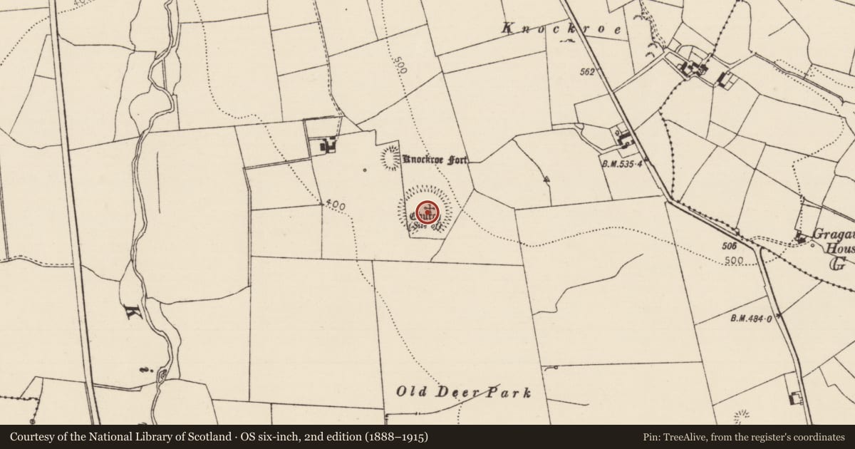
On poorly drained grasssland on W facing slope of rising ground in upland region overlooking river valley to W, higher ground to E. Moated site (TS055-045----) 120m to NNW. Monument consists of a large circular area (int. diam. 70m N-S; 72m E-W) enclosed by low poorly preserved earthen bank (top Wth 2.5m; base Wth 5m; int. H 0.2m; ext. H 0.3m) and outer fosse (base Wth 1m; top Wth 3m; ext. D 0.2m) both of which are best visible on the upslope at E and run onto field boundary with transects the enclosure at S and W destroying all remains of the bank and outer fosse as depicted on 1906 ed. OS 6-inch map. Bank and fosse of enclosure visible from NW through N through E to SE on;ly elsewhere destroyed. Church (TS055-046002-) and enclosure indicated on latest ed. OS 6-inch map but 'church site of' without the enclosure is indicated on the 1840 ed. OS 6-inch map. Evidence for later drainage earthworks criss-crossing the S quadrant of the enclosure. Possible low circular grass-covered mound of stone (H 0.5m; diam. 5m N-S) may indicate site of church in N quadrant of enclosure. No other features visible. Unusual that such a large enclosure is not indicated on 1843 ed. OS 6-inch map which may cast doubt as to its antiquity.
Compiled by: Jean Farrelly
Date of upload: 26 August 2011
Nearby in the register
- Churchunder 1 mi
- Moated siteunder 1 mi
- Deer parkunder 1 mi
- Churchunder 1 mi
Other entries of the same register within about three miles of this one, by straight line.