Sites and Monuments Record · Ireland
House - 17th century
Graystown, County Tipperary South, Ireland
The record
- Townland
- Graystown
- County
- Tipperary South
- Country
- Ireland
- First-edition OS map
- Not indicated
- Latest-edition OS map
- Not indicated
- Coordinates
- 52.56618, -7.71473
- SMR number
- TS054-037014-
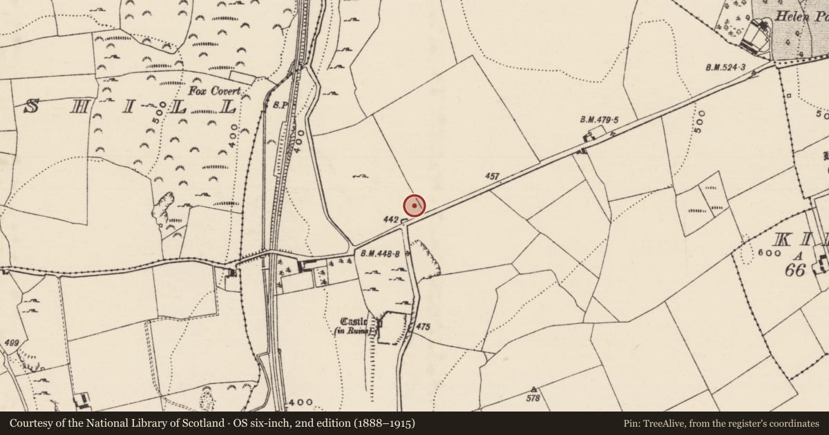
Slide toward Today to fade the historical sheet and see the modern map underneath.
David Rumsey Map Collection, Stanford LibrariesDavid Rumsey Map Collection, Stanford LibrariesDavid Rumsey Map Collection, Stanford LibrariesDavid Rumsey Map Collection, Stanford Libraries
4 historical maps cover this location, the earliest the 1790 map "Composite: Ireland." (David Rumsey Map Collection, Stanford Libraries).
Historical maps covering this location
- 1790 · Composite: Ireland. (David Rumsey Map Collection, Stanford Libraries)
- 1869 · Ireland. (David Rumsey Map Collection, Stanford Libraries)
- 1891 · Ireland 16 (David Rumsey Map Collection, Stanford Libraries)
- 1904 · Sheet 13. (David Rumsey Map Collection, Stanford Libraries)
This record in the National Monuments Service's Historic Environment Viewer ↗
The National Monuments Service's description
In grassland on low rise of rock outcrop with good views in all directions and deserted medieval settlement (TS054-037----) in field to S. Two fields to the N of Graystown castle (TS054-037002-) there are the grass-covered wall-footings of a rectangular tower (TS054-037010-) with wall-footings of a bawn (TS054-037011-) and house (TS054-037014-) with bawn (TS054-037015-) to E. Rectangular house (int. dims. 20.3m NW-SE x 11.4m NE-SW) located in E angle of bawn (TS054-037015-) defined by grass-covered earthen banks (top Wth 1.3m; base Wth 2.5m; int. H 0.15m; ext. H 0.8m). Two buildings (TS054-037016-; TS054-037017-) are located to the NW of the house, built up against the inner face of the NE side of the bawn. One of these buildings is built onto the NW wall of the long rectangular house. This long rectangular building and bawn are indicated by grass-covered earthen banks which have been built differently than the adjoining stone castle and bawn indicating that they may have been built later or had a different social status.
Compiled by: Jean Farrelly
Date of upload: 26 August 2011
Nearby in the register
Other entries of the same register within about three miles of this one, by straight line.