Sites and Monuments Record · Ireland
Barrow - ditch barrow
Lisduff (Kilcooly Par.), County Tipperary South, Ireland
The record
- Townland
- Lisduff (Kilcooly Par.)
- County
- Tipperary South
- Country
- Ireland
- First-edition OS map
- Not indicated
- Latest-edition OS map
- Not indicated
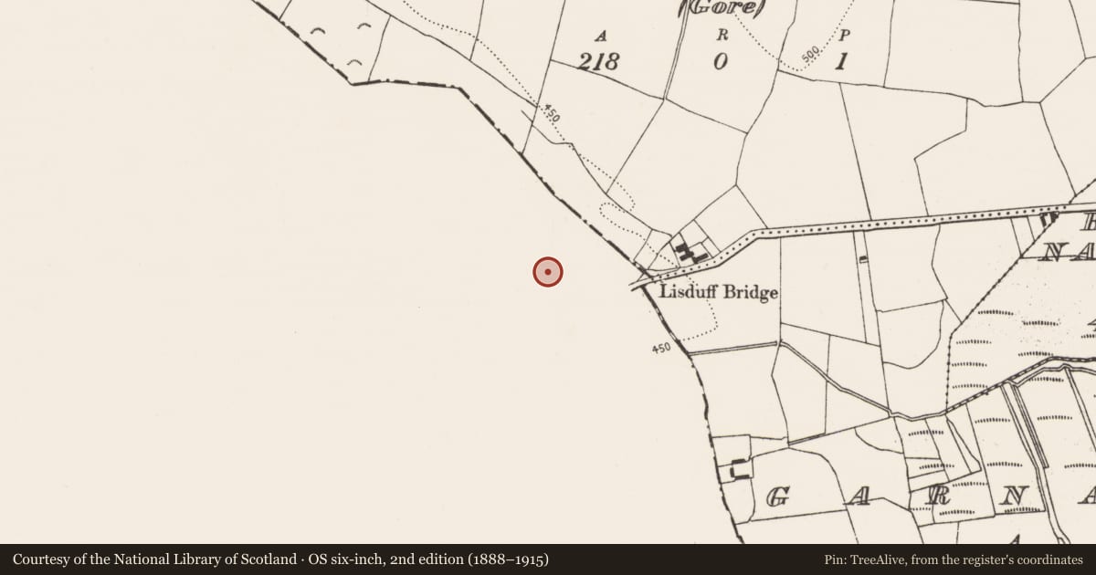
- Coordinates
- 52.69071, -7.53968
- SMR number
- TS043-019008-
Slide toward Today to fade the historical sheet and see the modern map underneath.
David Rumsey Map Collection, Stanford LibrariesDavid Rumsey Map Collection, Stanford LibrariesDavid Rumsey Map Collection, Stanford LibrariesDavid Rumsey Map Collection, Stanford Libraries
4 historical maps cover this location, the earliest the 1790 map "Composite: Ireland." (David Rumsey Map Collection, Stanford Libraries).
Historical maps covering this location
- 1790 · Composite: Ireland. (David Rumsey Map Collection, Stanford Libraries)
- 1869 · Ireland. (David Rumsey Map Collection, Stanford Libraries)
- 1891 · Ireland 16 (David Rumsey Map Collection, Stanford Libraries)
- 1904 · Sheet 13. (David Rumsey Map Collection, Stanford Libraries)
This record in the National Monuments Service's Historic Environment Viewer ↗
The National Monuments Service's description
On flat reclaimed pasture with good views in all directions with nearby Munster river to SE. Though originally marshy, the land has been drained and reclaimed. Aerial photographs (CUCAP APD 62, 63, 64) taken in 1966 reveal at least ten ring-ditches (TS043-019002- to TS043-019010-), in a roughly linear arrangement, aligned NW-SE, which show up as circular cropmarks. It is likely that these are a barrow group, and while they may be levelled ring-barrows, without evidence of an outer bank they have been classified as ditch-barrows. This ditch barrow is located in the centre of the alignment and is similar in size to four other barrows (TS043-019002-; TS043-019005-; TS043-019009- and TS043-019010-) within the group. The ditch barrow (TS043-019003-), at the NE end of the alignment, is the largest in the group. Cropmarks, indicative of a field system (TS043-019001-), consisting of two parallel linear ditches are visible to the W of the barrow group, with two single ditches to S and E. None of the features indicated on the aerial photographs are visible at ground level.
Compiled by: Jean Farrelly
Date of upload: 26 March 2015
Nearby in the register
- Barrow - ditch barrowunder 1 mi
- Barrow - ditch barrowunder 1 mi
- Barrow - ditch barrowunder 1 mi
- Barrow - ditch barrowunder 1 mi
Other entries of the same register within about three miles of this one, by straight line.