Sites and Monuments Record · Ireland
Graveslab
Holycross, County Tipperary North, Ireland
The record
- Townland
- Holycross
- County
- Tipperary North
- Country
- Ireland
- First-edition OS map
- NULL
- Latest-edition OS map
- Not indicated
- Coordinates
- 52.63943, -7.86791
- SMR number
- TN047-030018-
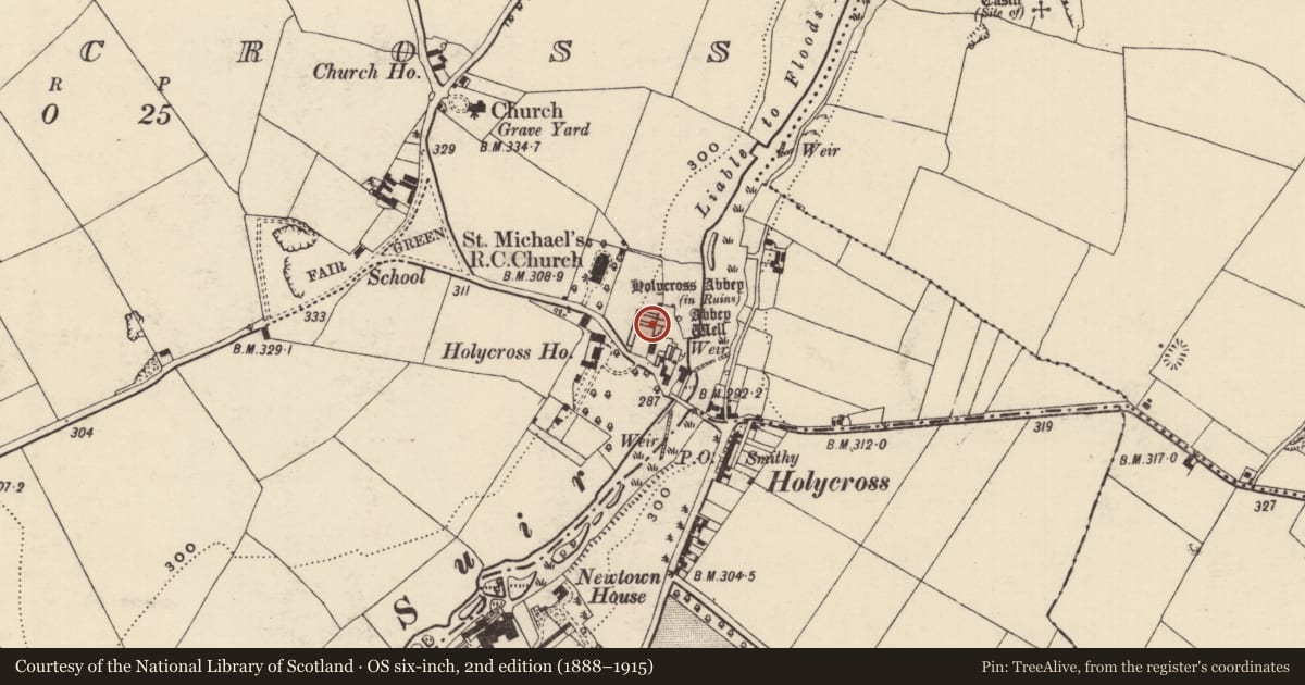
Slide toward Today to fade the historical sheet and see the modern map underneath.
David Rumsey Map Collection, Stanford LibrariesDavid Rumsey Map Collection, Stanford LibrariesDavid Rumsey Map Collection, Stanford LibrariesDavid Rumsey Map Collection, Stanford Libraries
4 historical maps cover this location, the earliest the 1790 map "Composite: Ireland." (David Rumsey Map Collection, Stanford Libraries).
Historical maps covering this location
- 1790 · Composite: Ireland. (David Rumsey Map Collection, Stanford Libraries)
- 1869 · Ireland. (David Rumsey Map Collection, Stanford Libraries)
- 1891 · Ireland 16 (David Rumsey Map Collection, Stanford Libraries)
- 1904 · Sheet 13. (David Rumsey Map Collection, Stanford Libraries)
This record in the National Monuments Service's Historic Environment Viewer ↗
The National Monuments Service's description
One of two graveslabs (TN047-030018-019) located behind in the N chapel off the N transept of the Cistercian abbey (TN047-030001) at Holycross. Number 10 in D. Maher's catalogue of Medieval Grave Slabs of County Tipperary 1200 - 1600 A.D. for Holycross Abbey.
Slightly tapered slab ( L 1.43m; Top Wth 0.59m ; Base Wth 0.58m) with chamfered edge along the sinister side, dexter side is not visible as the slab is set up against the N wall of the chapel. The decorated syrface is worn and its base is broken off. The design consists of an incised outline cross, with a trefoil at the terminal of each arm. The trefoils of the upper and the sinister arms only partially survive, as does the outline cross-shaft. No inscription visible.
Compiled by: Caimin O'Brien.
Date of upload: 22 September 2008
Nearby in the register
Other entries of the same register within about three miles of this one, by straight line.