Sites and Monuments Record · Ireland
Structure - peatland
Killoran (Moyne Par.), County Tipperary North, Ireland
The record
- Townland
- Killoran (Moyne Par.)
- County
- Tipperary North
- Country
- Ireland
- First-edition OS map
- Not indicated
- Latest-edition OS map
- Not indicated
- Coordinates
- 52.75551, -7.67199
- SMR number
- TN036-057----
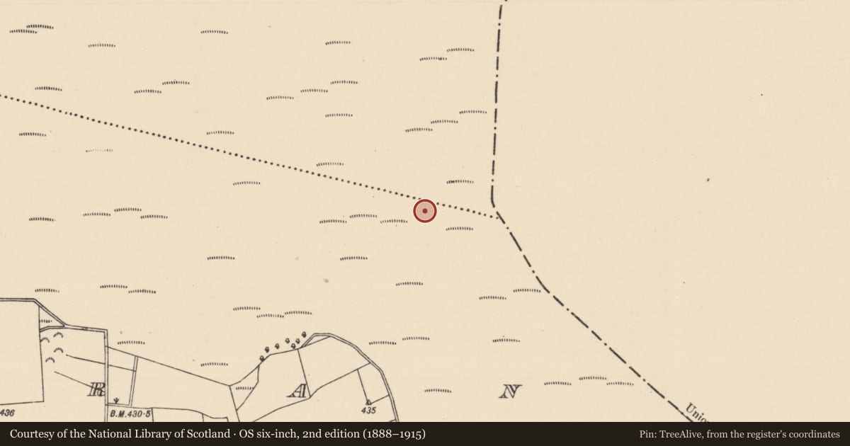
Slide toward Today to fade the historical sheet and see the modern map underneath.
David Rumsey Map Collection, Stanford LibrariesDavid Rumsey Map Collection, Stanford LibrariesDavid Rumsey Map Collection, Stanford LibrariesDavid Rumsey Map Collection, Stanford Libraries
4 historical maps cover this location, the earliest the 1790 map "Composite: Ireland." (David Rumsey Map Collection, Stanford Libraries).
Historical maps covering this location
- 1790 · Composite: Ireland. (David Rumsey Map Collection, Stanford Libraries)
- 1868 · 4. Ireland. (David Rumsey Map Collection, Stanford Libraries)
- 1869 · Ireland. (David Rumsey Map Collection, Stanford Libraries)
- 1891 · Ireland 16 (David Rumsey Map Collection, Stanford Libraries)
This record in the National Monuments Service's Historic Environment Viewer ↗
The National Monuments Service's description
This peatland structure was found as a result of a peatland survey of the proposed Lisheen III wind farm, including the construction of turbines as well as an access road and ancillary works for connection with the electricity grid (Moore et al. 2015). Identified in a drain face 0.6m below the surface of the milled peat field. The monument (L 1.3m; Wth 0.63m; D 0.1m) consists of a two pieces of brushwood (diam. 0.04m) and two roundwoods (diam. 0.1-0.11m), all orientated E-W and in good condition (Moore et al. 2015, 36-7).
Compiled by: Jean Farrelly
Date of upload: 26 January 2016
References
Moore, C., Moore, D. and Quinn, B. 2015 Report on the results of a peatland survey of the proposed Lisheen III windfarm, counties Tipperary, Laois and Kilkenny. Unpublished archaeological survey report, National Monuments Service, Department of Arts, Heritage and the Gaeltacht, Dublin.
Nearby in the register
- Structure - peatlandunder 1 mi
- Road - unclassified togherunder 1 mi
- Road - unclassified togherunder 1 mi
- Road - unclassified togherunder 1 mi
Other entries of the same register within about three miles of this one, by straight line.