Sites and Monuments Record · Ireland
Platform - peatland
Cooleeny, County Tipperary North, Ireland
The record
- Townland
- Cooleeny
- County
- Tipperary North
- Country
- Ireland
- First-edition OS map
- NULL
- Latest-edition OS map
- Not indicated
- Coordinates
- 52.74203, -7.67159
- SMR number
- TN036-050128-
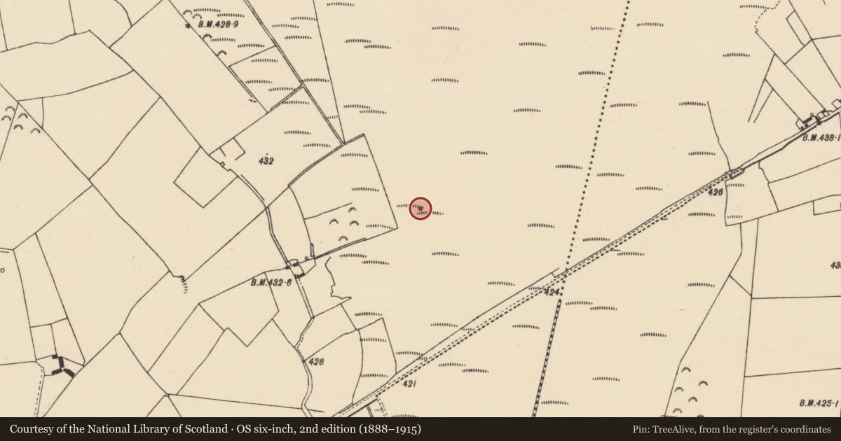
Slide toward Today to fade the historical sheet and see the modern map underneath.
David Rumsey Map Collection, Stanford LibrariesDavid Rumsey Map Collection, Stanford LibrariesDavid Rumsey Map Collection, Stanford LibrariesDavid Rumsey Map Collection, Stanford Libraries
4 historical maps cover this location, the earliest the 1790 map "Composite: Ireland." (David Rumsey Map Collection, Stanford Libraries).
Historical maps covering this location
- 1790 · Composite: Ireland. (David Rumsey Map Collection, Stanford Libraries)
- 1811 · Ireland. (David Rumsey Map Collection, Stanford Libraries)
- 1869 · Ireland. (David Rumsey Map Collection, Stanford Libraries)
- 1891 · Ireland 16 (David Rumsey Map Collection, Stanford Libraries)
This record in the National Monuments Service's Historic Environment Viewer ↗
The National Monuments Service's description
Nineteen wetland structures or platforms were identified during the course of field survey of Derryville Bog (Gowen 1999, 112-22). The majority were constructed of a combination of brushwood and roundwood. In three cases (TN036-050129/130, TN036-050137) small anchoring pegs were used and there were two examples of woven brushwood (TN036-050130, TN036-050133). Dates were obtained from four of these possible platforms ranging from the Late Bronze Age 792-526 BC (TN036-050127) to the Iron Age 351-120 BC (TN036-050128). Wood species were identified at nine sites - wood used included alder, ash, birch, hazel and willow.
The above description is derived from 'The Archaeological Inventory of County Tipperary. Vol. 1 - North Tipperary' compiled by Jean Farrelly and Caimin O'Brien (Dublin: Stationery Office, 2002). In certain instances the entries have been revised and updated in the light of recent research.
Date of upload/revision: 22 September 2008
Nearby in the register
- Platform - peatlandunder 1 mi
- Platform - peatlandunder 1 mi
- Platform - peatlandunder 1 mi
- Platform - peatlandunder 1 mi
Other entries of the same register within about three miles of this one, by straight line.