Sites and Monuments Record · Ireland
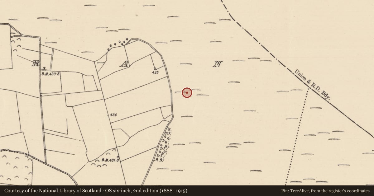
Road - unclassified togher
Killoran (Moyne Par.), County Tipperary North, Ireland
The record
- Townland
- Killoran (Moyne Par.)
- County
- Tipperary North
- Country
- Ireland
- First-edition OS map
- NULL
- Latest-edition OS map
- Not indicated
- Coordinates
- 52.75101, -7.67152
- SMR number
- TN036-050066-
Slide toward Today to fade the historical sheet and see the modern map underneath.
David Rumsey Map Collection, Stanford LibrariesDavid Rumsey Map Collection, Stanford LibrariesDavid Rumsey Map Collection, Stanford LibrariesDavid Rumsey Map Collection, Stanford Libraries
4 historical maps cover this location, the earliest the 1790 map "Composite: Ireland." (David Rumsey Map Collection, Stanford Libraries).
Historical maps covering this location
- 1790 · Composite: Ireland. (David Rumsey Map Collection, Stanford Libraries)
- 1868 · 4. Ireland. (David Rumsey Map Collection, Stanford Libraries)
- 1869 · Ireland. (David Rumsey Map Collection, Stanford Libraries)
- 1891 · Ireland 16 (David Rumsey Map Collection, Stanford Libraries)
This record in the National Monuments Service's Historic Environment Viewer ↗
The National Monuments Service's description
Situated on flat bogland. Excavation revealed a small platform built in two phases, the first consisting of a small area (dims. 6-7m E-W x 6m N-S) covered with an irregularly laid layer of roundwood and brushwood which may have acted as a foundation layer for the overlying platform. This secondary feature consisted of a larger area (dims. 8-10m E-W x 6.5m N-S) covered with a heavier layer of irregularly laid roundwood. Both layers of roundwood were held in place by irregularly spaced pegs. A possible yew shaft for a socketed spearhead was found lying horizontally in the lowest level of the platform. (Cross 1999, Killoran 237, 77-8)
The above description is derived from 'The Archaeological Inventory of County Tipperary. Vol. 1 - North Tipperary' compiled by Jean Farrelly and Caimin O'Brien (Dublin: Stationery Office, 2002). In certain instances the entries have been revised and updated in the light of recent research.
Date of upload/revision: 22 September 2008
Nearby in the register
- Fulacht fiaunder 1 mi
- Fulacht fiaunder 1 mi
- Road - unclassified togherunder 1 mi
- Road - unclassified togherunder 1 mi
Other entries of the same register within about three miles of this one, by straight line.