Sites and Monuments Record · Ireland
House - prehistoric
Killoran (Moyne Par.), County Tipperary North, Ireland
The record
- Townland
- Killoran (Moyne Par.)
- County
- Tipperary North
- Country
- Ireland
- First-edition OS map
- NULL
- Latest-edition OS map
- Not indicated
- Coordinates
- 52.75128, -7.67359
- SMR number
- TN036-050007-
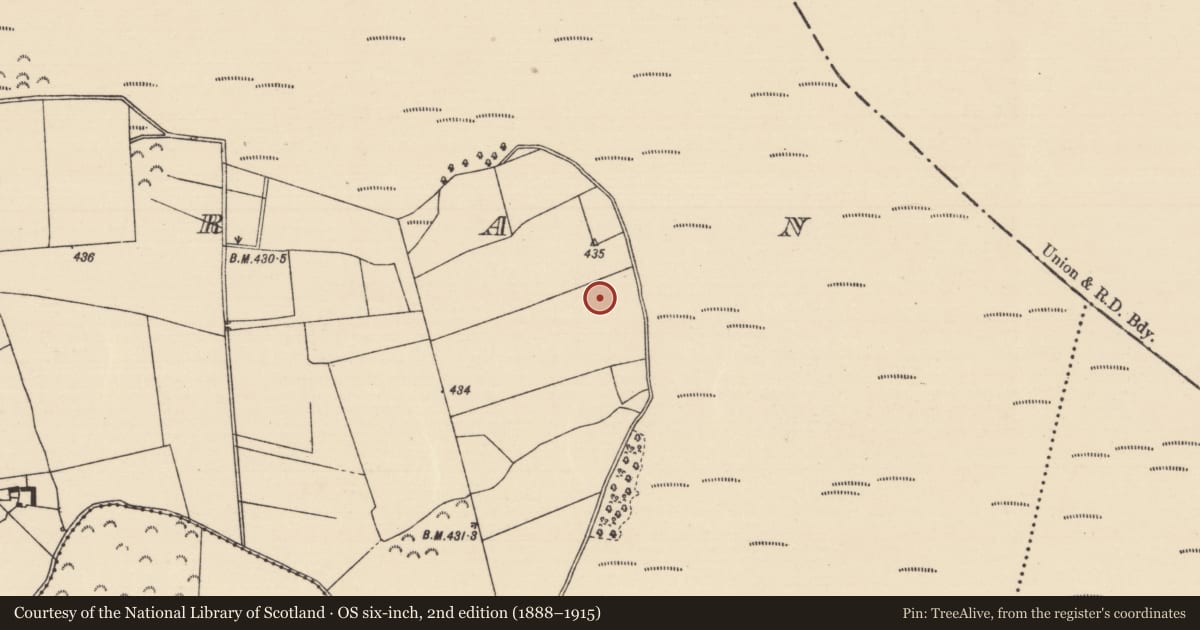
Slide toward Today to fade the historical sheet and see the modern map underneath.
David Rumsey Map Collection, Stanford LibrariesDavid Rumsey Map Collection, Stanford LibrariesDavid Rumsey Map Collection, Stanford LibrariesDavid Rumsey Map Collection, Stanford Libraries
4 historical maps cover this location, the earliest the 1790 map "Composite: Ireland." (David Rumsey Map Collection, Stanford Libraries).
Historical maps covering this location
- 1790 · Composite: Ireland. (David Rumsey Map Collection, Stanford Libraries)
- 1868 · 4. Ireland. (David Rumsey Map Collection, Stanford Libraries)
- 1869 · Ireland. (David Rumsey Map Collection, Stanford Libraries)
- 1891 · Ireland 16 (David Rumsey Map Collection, Stanford Libraries)
This record in the National Monuments Service's Historic Environment Viewer ↗
The National Monuments Service's description
Situated on a low ridge of ground in Derryville Bog. A number of house sites were discovered during monitoring of topsoil removal. Excavation revealed three round houses (A, B and C) with a possible fourth structure (D) to the S and a possible fifth earlier structure (E) which was disturbed by the wall-slots of houses A and B. Houses A, B and C appear to be contemporary and stood side by side. Finds from the site included coarse pottery of Bronze Age appearance, a fragment of a saddle quern, burnt daub, rubbing stones, hammerstones, a possible whetstone, some struck chert and flint.
House A (diam. 9m) was defined by a circular wall-slot containing occasional stake-holes possibly of wattle-built walls with a doorway facing SE. Inside the wall-slot there was evidence for internal roof supports in the form of a circular setting of 6 post-holes. House B was located immediately N of house A and consisted of a subcircular area (diam. C.8m) defined by a wall-slot with an internal ring of stake-holes for internal roof supports and main doorway facing SE. House C was located to the NE of house A and was only partially visible due to possible disturbance by a modern field boundary and tree-line. A number of post-holes and the W portion of the enclosing wall-slot along with the doorway at SE were the only features visible.
Structure D was located 9m S of house A and consisted of an interrupted gully, a possible doorway and two post-holes inside the doorway. The excavator was unable to conclusively identify the function or extent of this structure. Structure E was a possible post-built structure which was cut by the W side of house A nd the E side of house B. A large number of other subsidary features which predated houses A and B were identified and formed a possible subrectangular pattern. The excavator was uncertain of the true nature of this structure. (Ó Néill 1998, Killoran 8, 173-4)
The above description is derived from 'The Archaeological Inventory of County Tipperary. Vol. 1 - North Tipperary' compiled by Jean Farrelly and Caimin O'Brien (Dublin: Stationery Office, 2002). In certain instances the entries have been revised and updated in the light of recent research.
Date of upload/revision: 22 September 2008
Nearby in the register
- House - indeterminate dateunder 1 mi
- House - indeterminate dateunder 1 mi
- Structureunder 1 mi
- Structureunder 1 mi
Other entries of the same register within about three miles of this one, by straight line.