Sites and Monuments Record · Ireland
Barrow - ring-barrow
Garranakilka, County Tipperary North, Ireland
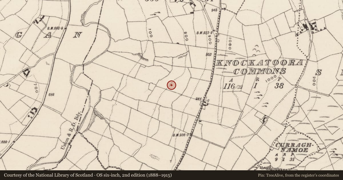
The record
- Townland
- Garranakilka
- County
- Tipperary North
- Country
- Ireland
- First-edition OS map
- NULL
- Latest-edition OS map
- Not indicated
- Coordinates
- 52.72114, -8.05964
- SMR number
- TN033-065----
Slide toward Today to fade the historical sheet and see the modern map underneath.
David Rumsey Map Collection, Stanford LibrariesDavid Rumsey Map Collection, Stanford LibrariesDavid Rumsey Map Collection, Stanford LibrariesDavid Rumsey Map Collection, Stanford Libraries
4 historical maps cover this location, the earliest the 1790 map "Composite: Ireland." (David Rumsey Map Collection, Stanford Libraries).
Historical maps covering this location
- 1790 · Composite: Ireland. (David Rumsey Map Collection, Stanford Libraries)
- 1868 · 4. Ireland. (David Rumsey Map Collection, Stanford Libraries)
- 1869 · Ireland. (David Rumsey Map Collection, Stanford Libraries)
- 1891 · Ireland 16 (David Rumsey Map Collection, Stanford Libraries)
This record in the National Monuments Service's Historic Environment Viewer ↗
The National Monuments Service's description
One of a group of four possible ring-barrows although their arrangement and state of preservation may suggest ring-feeders. Their size and siting on a steep slope and situated to a nearby ring-barrow suggests that they may be authentic ring-barrows. It would have been an unlikely location on a steep slope for a ring-feeder, local land-owner has no memory of ever using a ring-feeder in this field. Situated on the NW-facing slope of rising ground in upland area overlooking Clodiagh river valley to W, higher ground to E. Monument consists of a low circular mound (diam. 1.6m; H 0.2m) enclosed by an inner fosse (Wth 2m; ext. D 0.2m) and outer bank (Wth 3m; ext. H 0.2m) which is visible only on the downward slope side from SW through W to NW only, not visible and doubt if ever there was an outer bank on the upslope side of the barrow. Overall the monument measures 10m in diameter N-S. This barrow has a second barrow (TN033-065001) conjoined to its NE side and both of these barrows are located 20m to the E of the other two barrows (TN033-065002; TN033-065003)
Compiled by: Caimin O'Brien.
Date of upload: 22 September 2008
Nearby in the register
- Barrow - ring-barrowunder 1 mi
- Barrow - ring-barrowunder 1 mi
- Barrow - ring-barrowunder 1 mi
- Barrow - ring-barrowunder 1 mi
Other entries of the same register within about three miles of this one, by straight line.