Sites and Monuments Record · Ireland
Ringfort - rath
Barnane (Barnane-ely Par.), County Tipperary North, Ireland
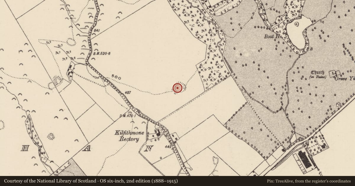
The record
- Townland
- Barnane (Barnane-ely Par.)
- County
- Tipperary North
- Country
- Ireland
- First-edition OS map
- NULL
- Latest-edition OS map
- Hachured
- Coordinates
- 52.79223, -7.91951
- SMR number
- TN028-052----
Slide toward Today to fade the historical sheet and see the modern map underneath.
David Rumsey Map Collection, Stanford LibrariesDavid Rumsey Map Collection, Stanford LibrariesDavid Rumsey Map Collection, Stanford LibrariesDavid Rumsey Map Collection, Stanford Libraries
4 historical maps cover this location, the earliest the 1790 map "Composite: Ireland." (David Rumsey Map Collection, Stanford Libraries).
Historical maps covering this location
- 1790 · Composite: Ireland. (David Rumsey Map Collection, Stanford Libraries)
- 1811 · Ireland. (David Rumsey Map Collection, Stanford Libraries)
- 1869 · Ireland. (David Rumsey Map Collection, Stanford Libraries)
- 1891 · Ireland 16 (David Rumsey Map Collection, Stanford Libraries)
This record in the National Monuments Service's Historic Environment Viewer ↗
The National Monuments Service's description
Situated on a SE-facing slope of rising ground in an upland area. A D-shaped area (diam. 36m N-S) enclosed by two well-preserved earth and stone banks with wide intervening fosse (Wth 4m; D 1m) and possible causewayed entrance at E. The inner bank (Wth 4m) is the best preserved while the outer bank (Wth 3m; H 1m) is best preserved at N.
The above description is derived from 'The Archaeological Inventory of County Tipperary. Vol. 1 - North Tipperary' compiled by Jean Farrelly and Caimin O'Brien (Dublin: Stationery Office, 2002). In certain instances the entries have been revised and updated in the light of recent research.
Date of upload/revision: 22 September 2008
Nearby in the register
- Ringfort - rathunder 1 mi
- Earthworkunder 1 mi
- Ringfort - rathunder 1 mi
- Enclosureunder 1 mi
Other entries of the same register within about three miles of this one, by straight line.