Sites and Monuments Record · Ireland
Cairn - unclassified
Ballincurra,Killeen (Kilnaneave Par.),Kilnaneave, County Tipperary North, Ireland
The record
- Townland
- Ballincurra,Killeen (Kilnaneave Par.),Kilnaneave
- County
- Tipperary North
- Country
- Ireland
- First-edition OS map
- NULL
- Latest-edition OS map
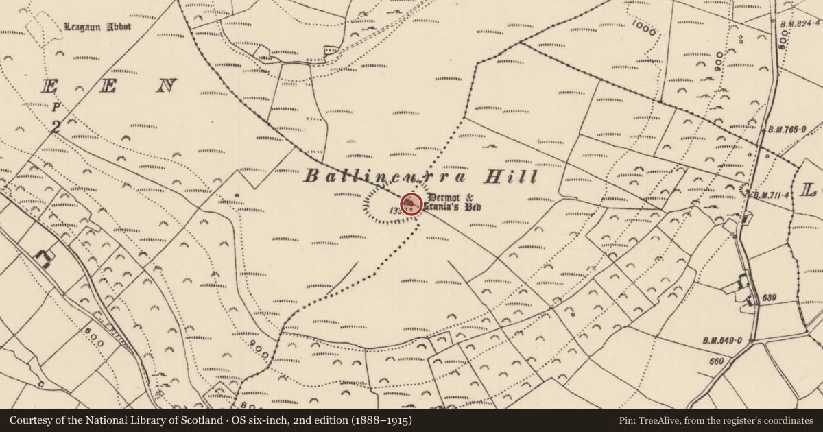
- Dermot & Granias Bed
- Coordinates
- 52.77945, -8.11277
- SMR number
- TN027-140002-
Slide toward Today to fade the historical sheet and see the modern map underneath.
David Rumsey Map Collection, Stanford LibrariesDavid Rumsey Map Collection, Stanford LibrariesDavid Rumsey Map Collection, Stanford LibrariesDavid Rumsey Map Collection, Stanford Libraries
4 historical maps cover this location, the earliest the 1790 map "Composite: Ireland." (David Rumsey Map Collection, Stanford Libraries).
Historical maps covering this location
- 1790 · Composite: Ireland. (David Rumsey Map Collection, Stanford Libraries)
- 1811 · Ireland. (David Rumsey Map Collection, Stanford Libraries)
- 1869 · Ireland. (David Rumsey Map Collection, Stanford Libraries)
- 1891 · Ireland 16 (David Rumsey Map Collection, Stanford Libraries)
This record in the National Monuments Service's Historic Environment Viewer ↗
The National Monuments Service's description
Situated on the summit of Ballincurra Hill, enclosed by hillfort (TN027-140001); panoramic views in all directions. Knockadiggen is visible to the NE. A circular cairn of limestone (diam. 18.3m N-S; H 1.77-2.15m), overgrown with heather. The interior is hollowed out (Wth 5.7-5.9m; D 1m), probably the result of robbing for adjacent stone walls. A stone wall (T c.1.6m x H 0.6m) abuts the cairn at SE and a denuded stone wall extends along the side of the cairn at NE. Forestry encroaches onto the edge of the cairn at S and NW, however a corridor has been left open through the forest giving a vista to SW.
The above description is derived from 'The Archaeological Inventory of County Tipperary. Vol. 1 - North Tipperary' compiled by Jean Farrelly and Caimin O'Brien (Dublin: Stationery Office, 2002). In certain instances the entries have been revised and updated in the light of recent research.
Date of upload/revision: 22 September 2008
Nearby in the register
- Hillfortunder 1 mi
- Ringfort - rathunder 1 mi
- Ringfort - rathunder 1 mi
- Ringfort - cashelunder 1 mi
Other entries of the same register within about three miles of this one, by straight line.