Sites and Monuments Record · Ireland
Kiln - corn-drying
Solsborough, County Tipperary North, Ireland
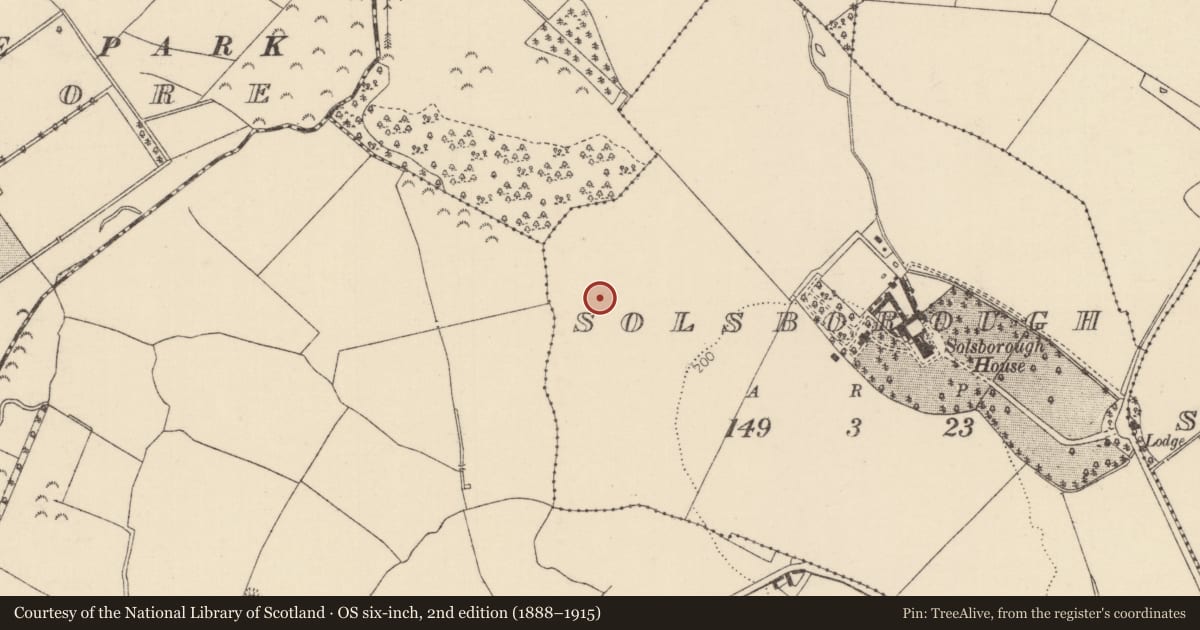
The record
- Townland
- Solsborough
- County
- Tipperary North
- Country
- Ireland
- First-edition OS map
- NULL
- Latest-edition OS map
- Not indicated
- Coordinates
- 52.86460, -8.23754
- SMR number
- TN020-154002-
Slide toward Today to fade the historical sheet and see the modern map underneath.
David Rumsey Map Collection, Stanford LibrariesDavid Rumsey Map Collection, Stanford LibrariesDavid Rumsey Map Collection, Stanford LibrariesDavid Rumsey Map Collection, Stanford Libraries
4 historical maps cover this location, the earliest the 1790 map "Composite: Ireland." (David Rumsey Map Collection, Stanford Libraries).
Historical maps covering this location
- 1790 · Composite: Ireland. (David Rumsey Map Collection, Stanford Libraries)
- 1811 · Ireland. (David Rumsey Map Collection, Stanford Libraries)
- 1869 · Ireland. (David Rumsey Map Collection, Stanford Libraries)
- 1891 · Ireland 16 (David Rumsey Map Collection, Stanford Libraries)
This record in the National Monuments Service's Historic Environment Viewer ↗
The National Monuments Service's description
In 2000 archaeological excavation by Donald Murphy revealed the remains of five corn-drying kilns associated with settlement features mainly of Early Christian date. Three of these kilns lay within the NE quadrant of the site. Keyhole in shape, these kilns yielded a high density of charcoal and oxidised clay. Timber was retrieved from the base of one kiln (a charcoal sample was taken and returned a date of AD 563-659). Other features exposed included three ditches, three hearths and one spread (Bennett 2002, 325). Carried out under licence No. 00E0552.
Compiled by: Caimin O'Brien.
Date of upload: 22 September 2008
Nearby in the register
- Settlement deserted - medievalunder 1 mi
- Kiln - corn-dryingunder 1 mi
- Kiln - corn-dryingunder 1 mi
- Kiln - corn-dryingunder 1 mi
Other entries of the same register within about three miles of this one, by straight line.